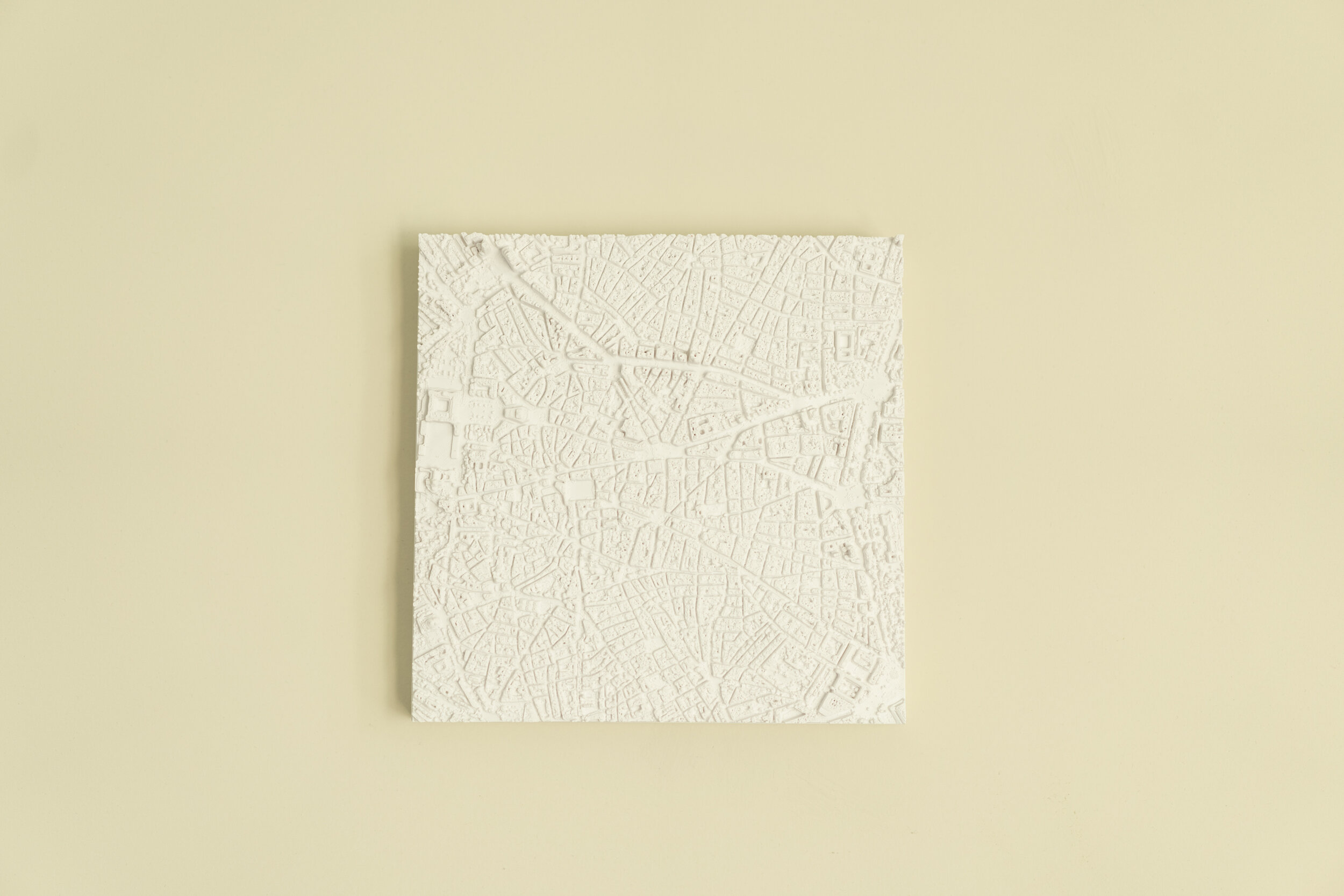
Madrid | 3D Cities


The Center of All the Roads in Spain
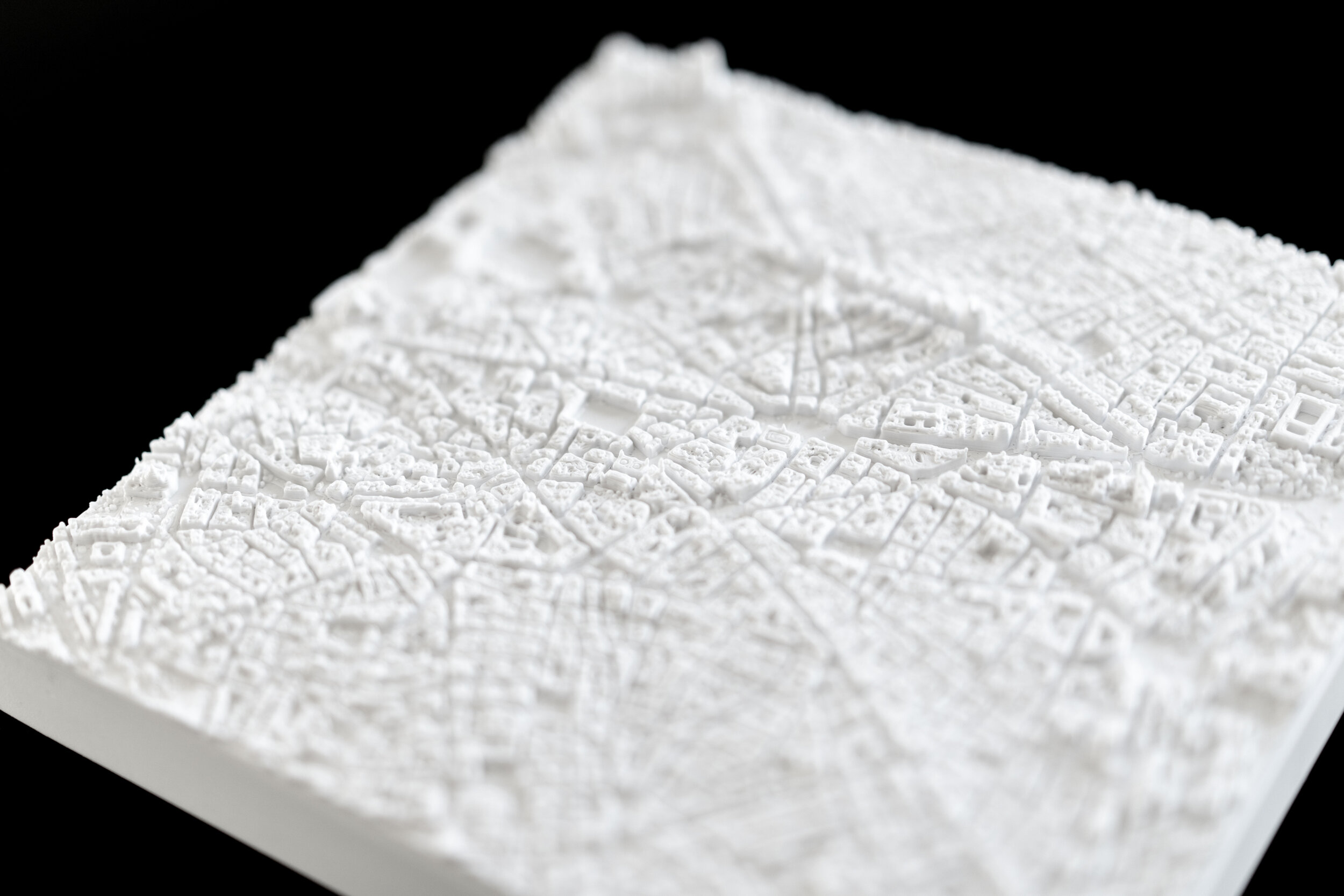
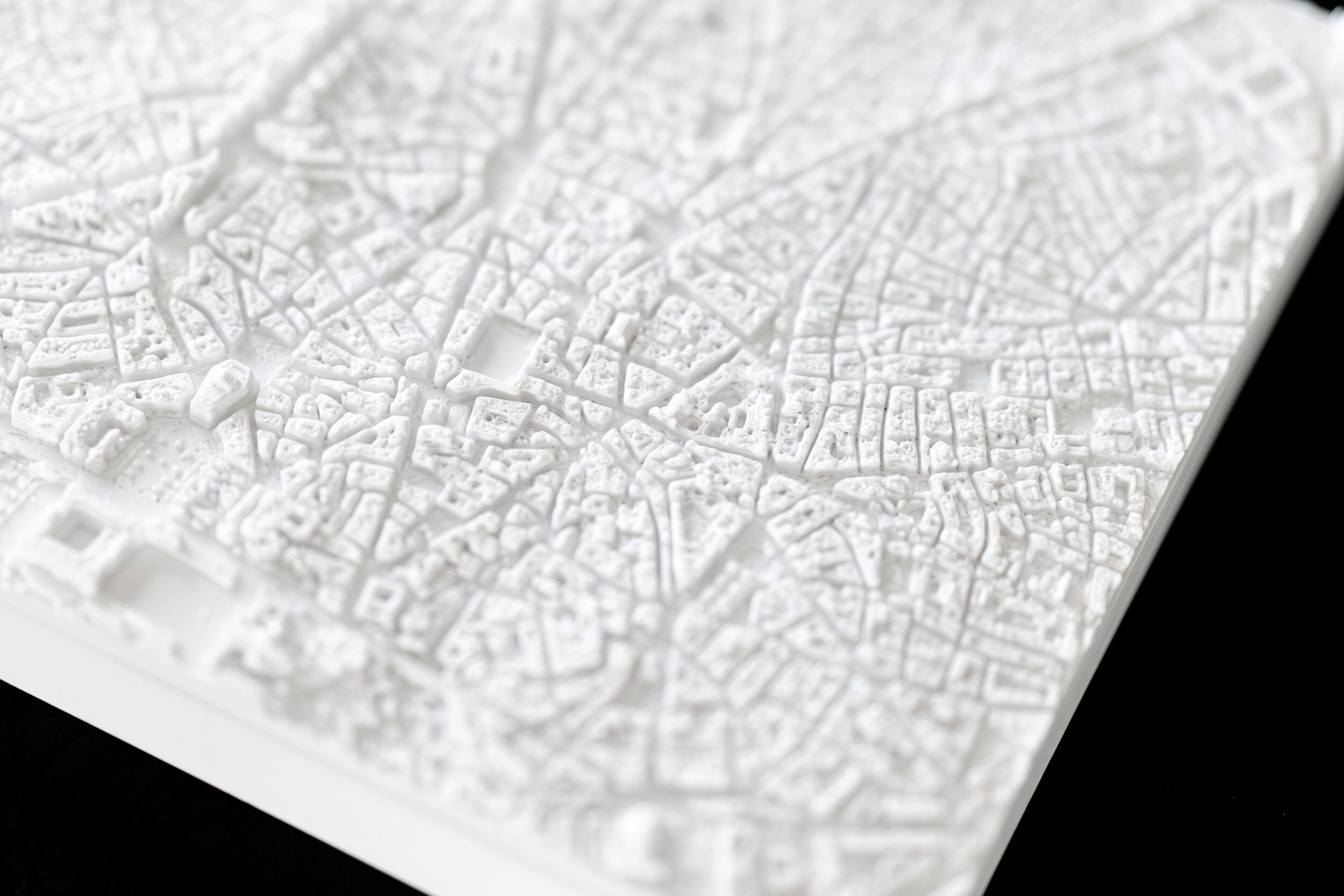
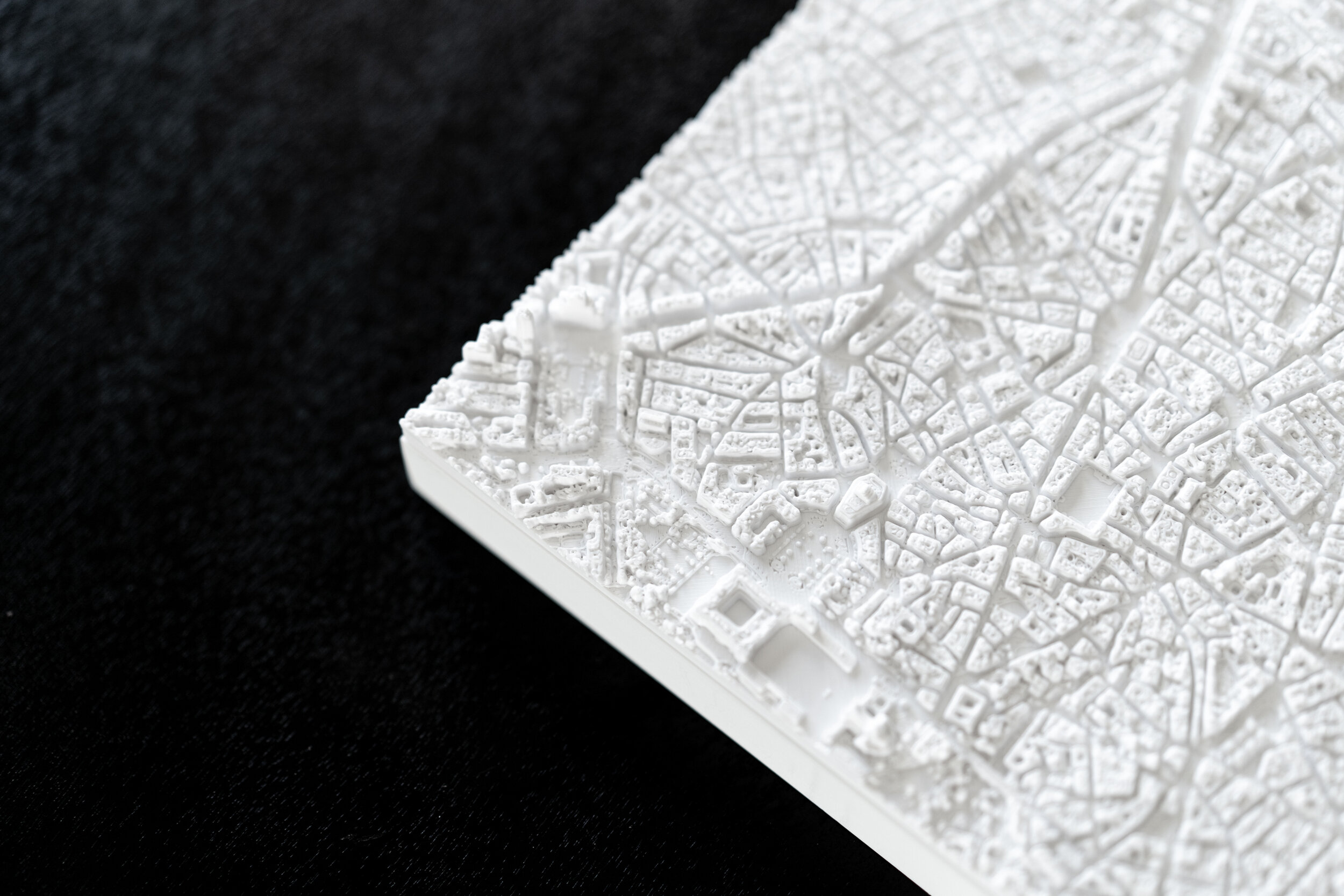
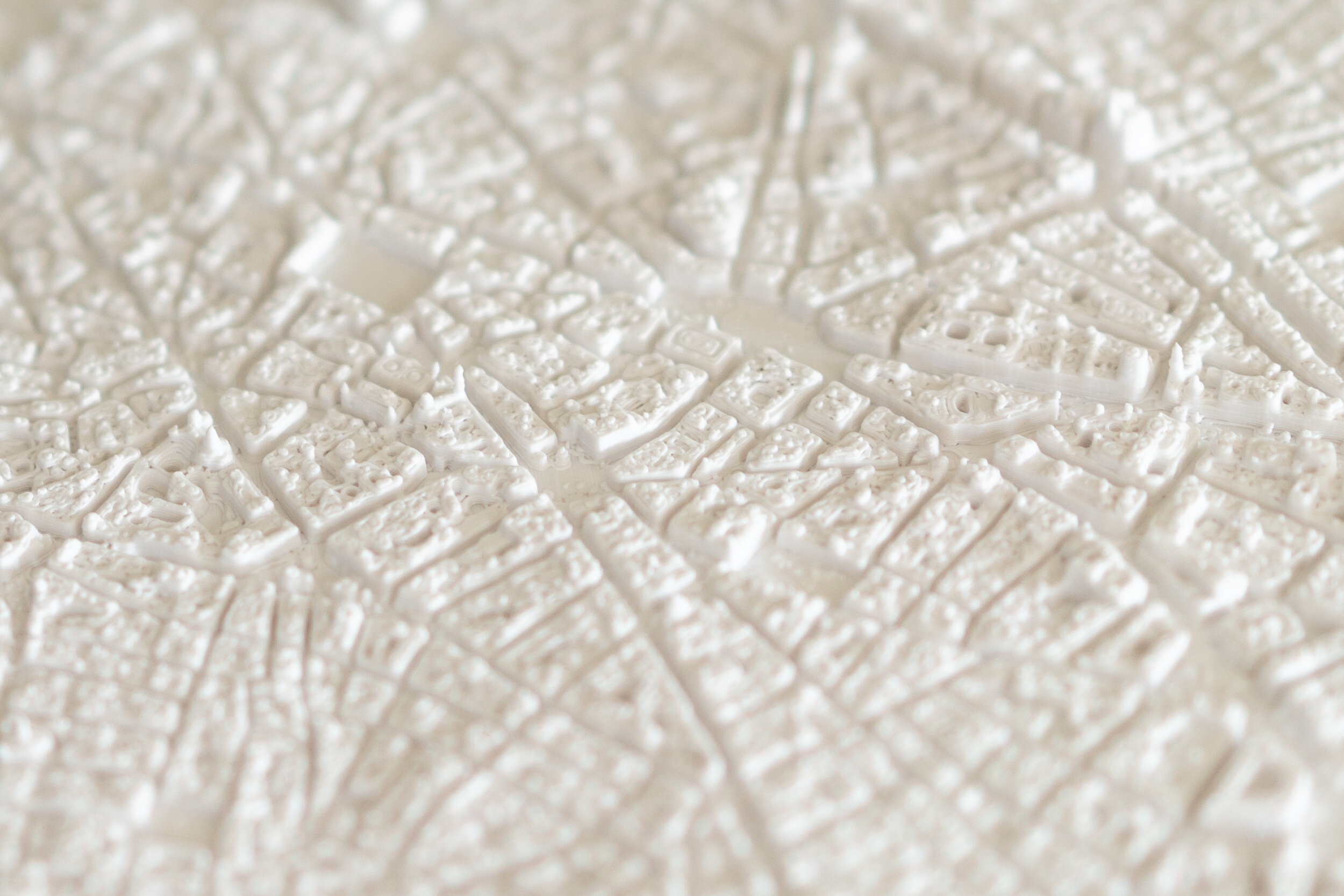
Spain's capital and largest city, Madrid is the business center of the Iberian Peninsula, and the third most populous city in Europe after London and Berlin. Compared to newer, grid-centric, cities in North America, Madrid exhibits the classic old-world transportation fabric of other European capitals. Seeing a map of the city in three dimensions really makes this obvious - the pattern of narrow streets, squares, low buildings, courtyards, etc. stands in stark contrast to the typical US city, with its right angles, skyscrapers, and parking lots.


Heading East down the Gran Via we pass the Telefónica Building (89m / 292'), and include Plaza Colon in the Northeast. Madrid-Atocha is in the Southeast corner, and the Southwest corner includes Puerta de Toledo and Basilica San Francisco El Grande. The 30cm/12" model includes a little more of the city, including Real Jardin Botanico on the East and Campo del Moro on the West.