Boston | 3D Cities


Beantown
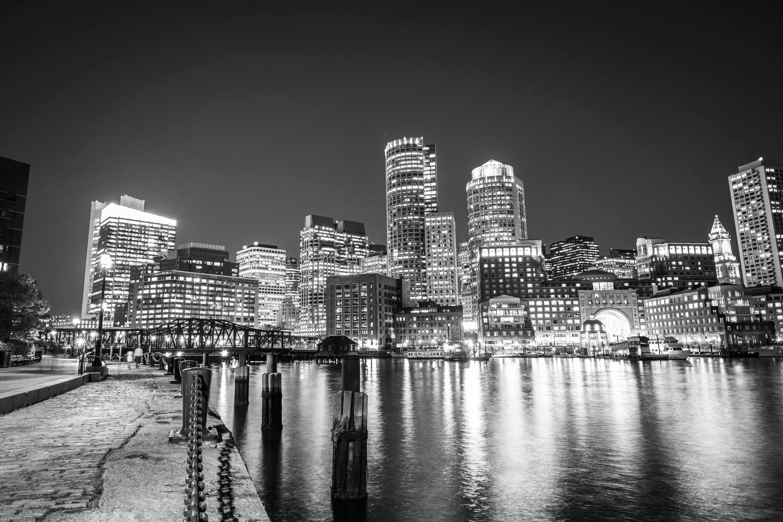
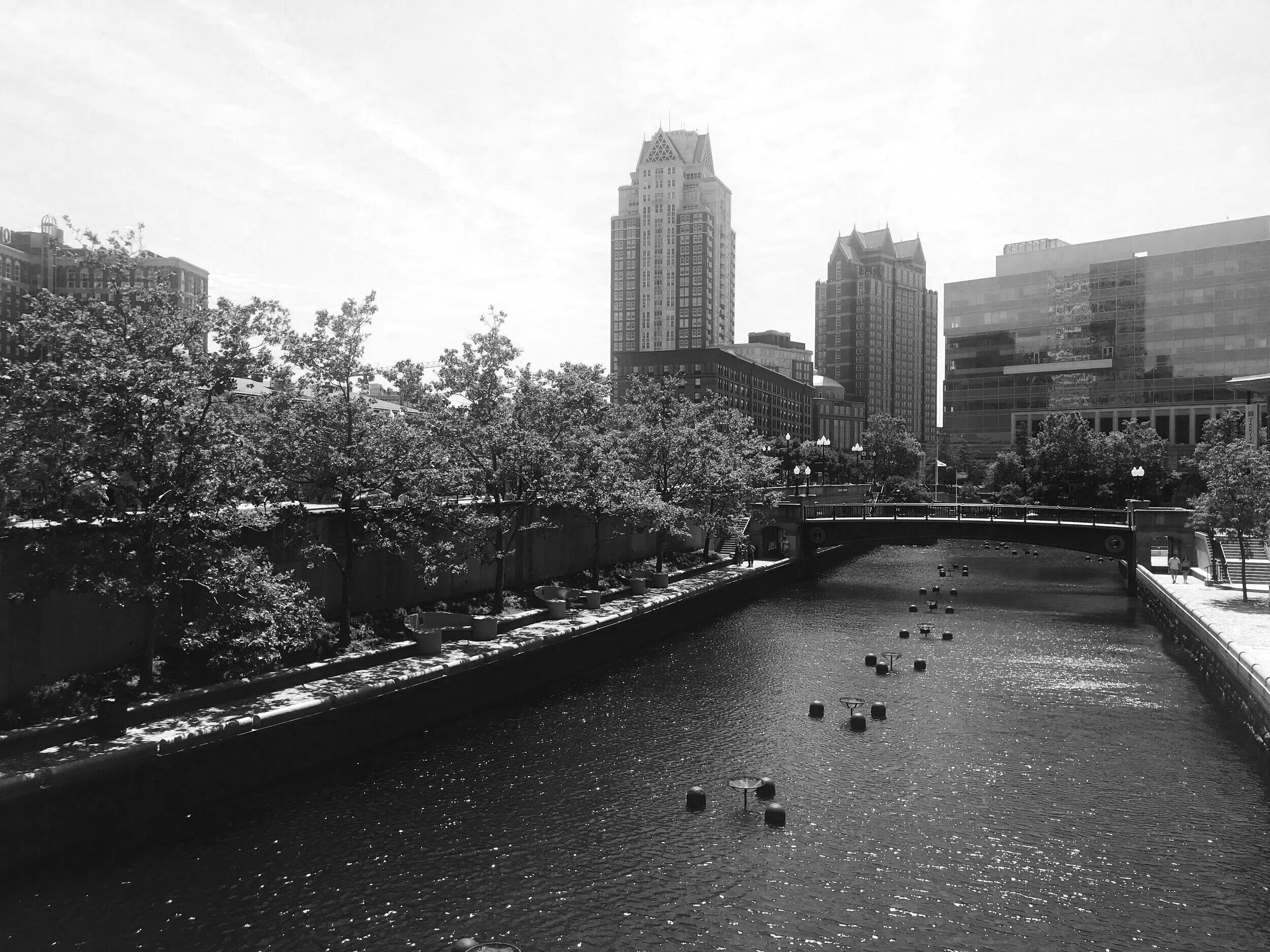
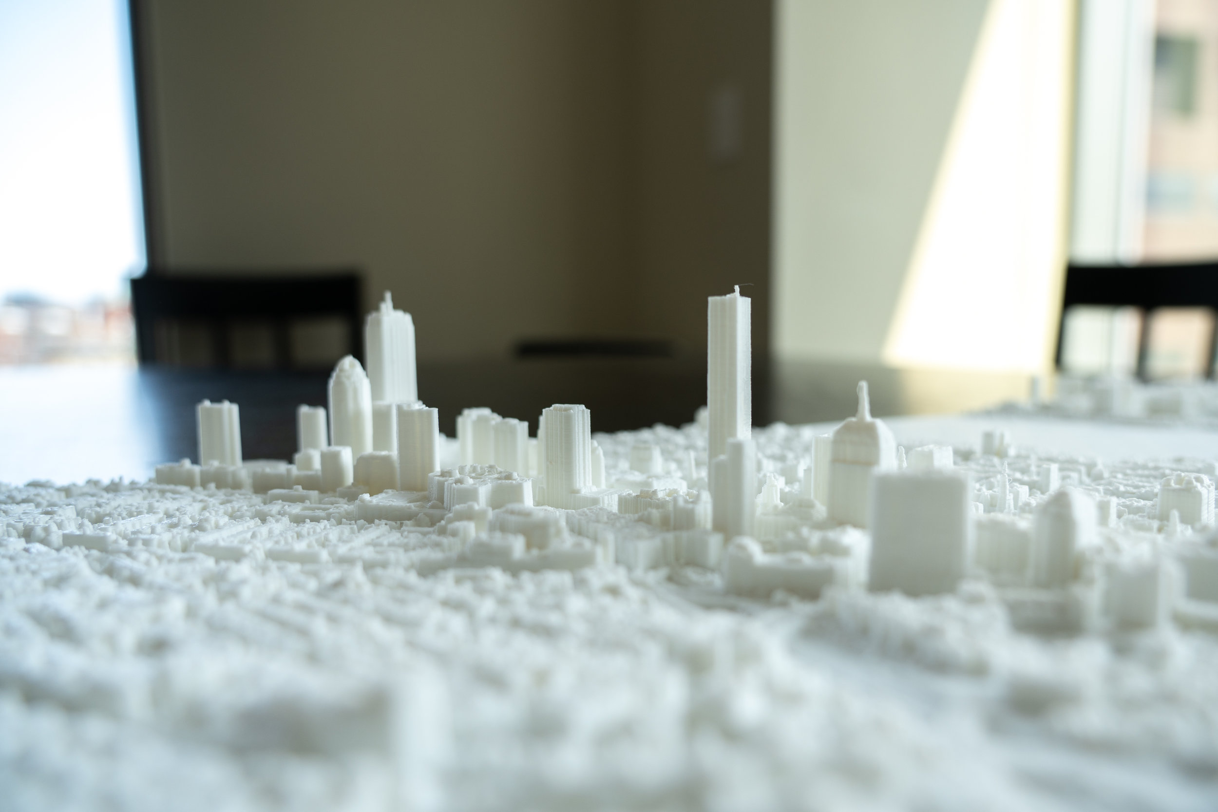
You could say that Boston is the oldest, largest city in the United States: it was the most populated place in the new world until the mid-18th century, when it was surpassed by Philadelphia, which then gave the title to New York around 1800, never looking back. While Boston, my adopted home town, never led the way with tall buildings, tall buildings isn't what MiniCty is all about.


Closer look into the city
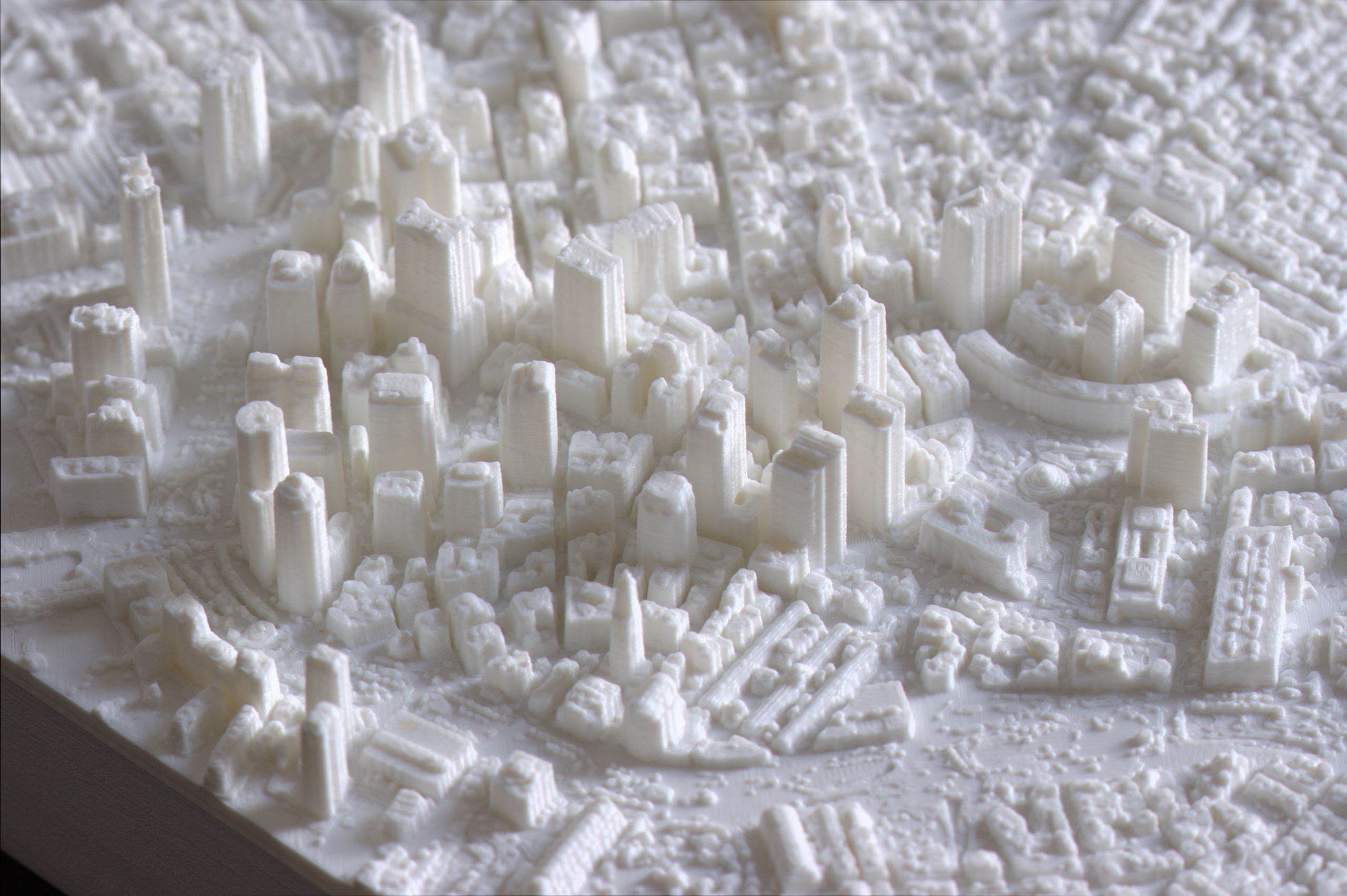
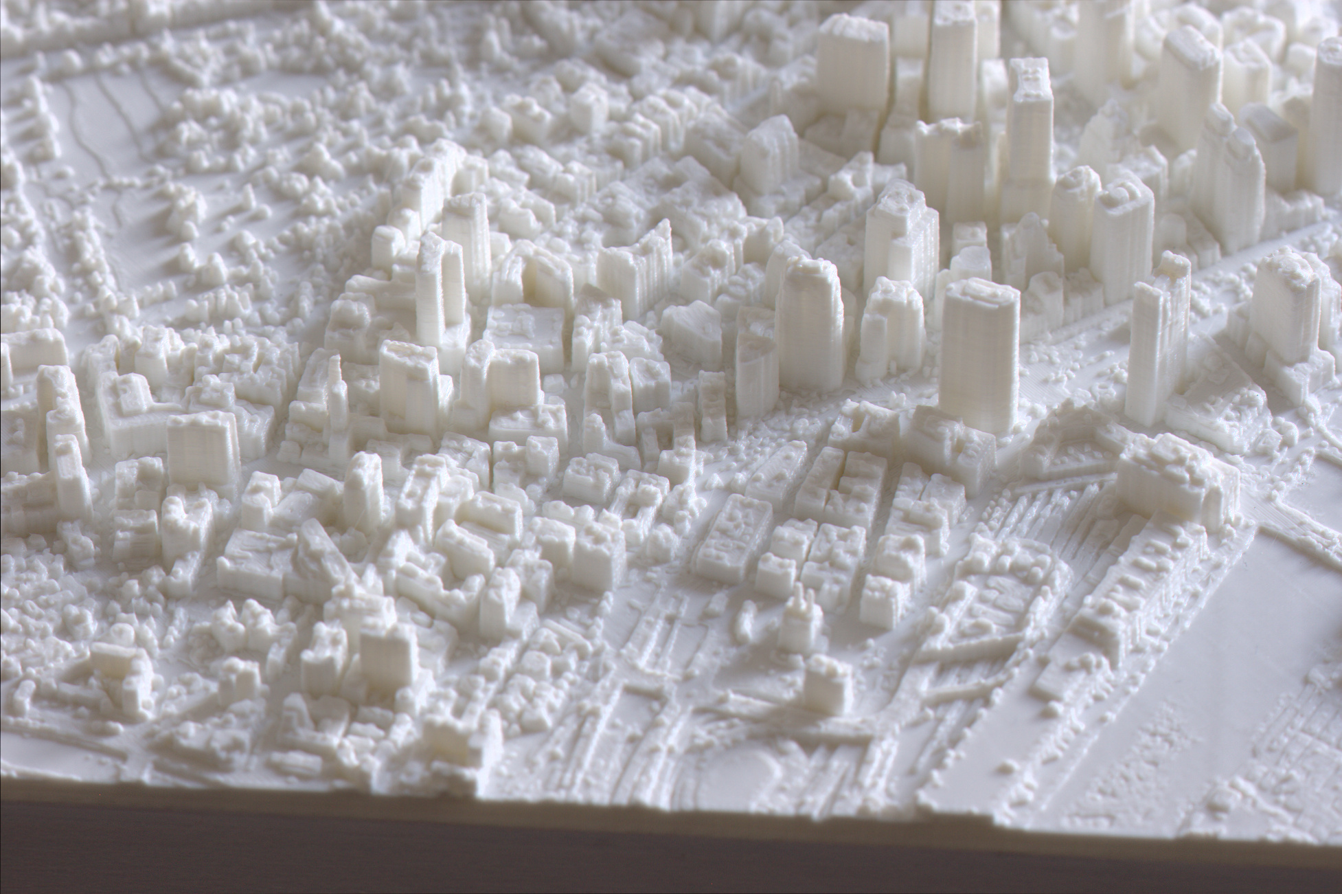
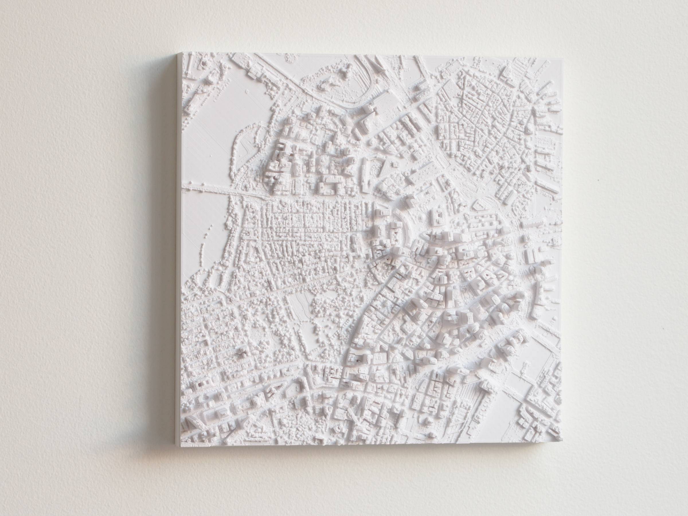
One look at our 3D map tells you what's different about Boston: the roads are cow paths, and just about as wide. Built from laser scan data from 2013, our smaller map includes neighborhoods from Chinatown, Leather District, Fort Point, Financial District, Government Center, Waterfront, Beacon Hill, some of North End, West End, and the Gardens and Commons. Larger models add parts of Back Bay, South End, Museum of Science, and some of Kendall Square and East Cambridge.
Larger sizes
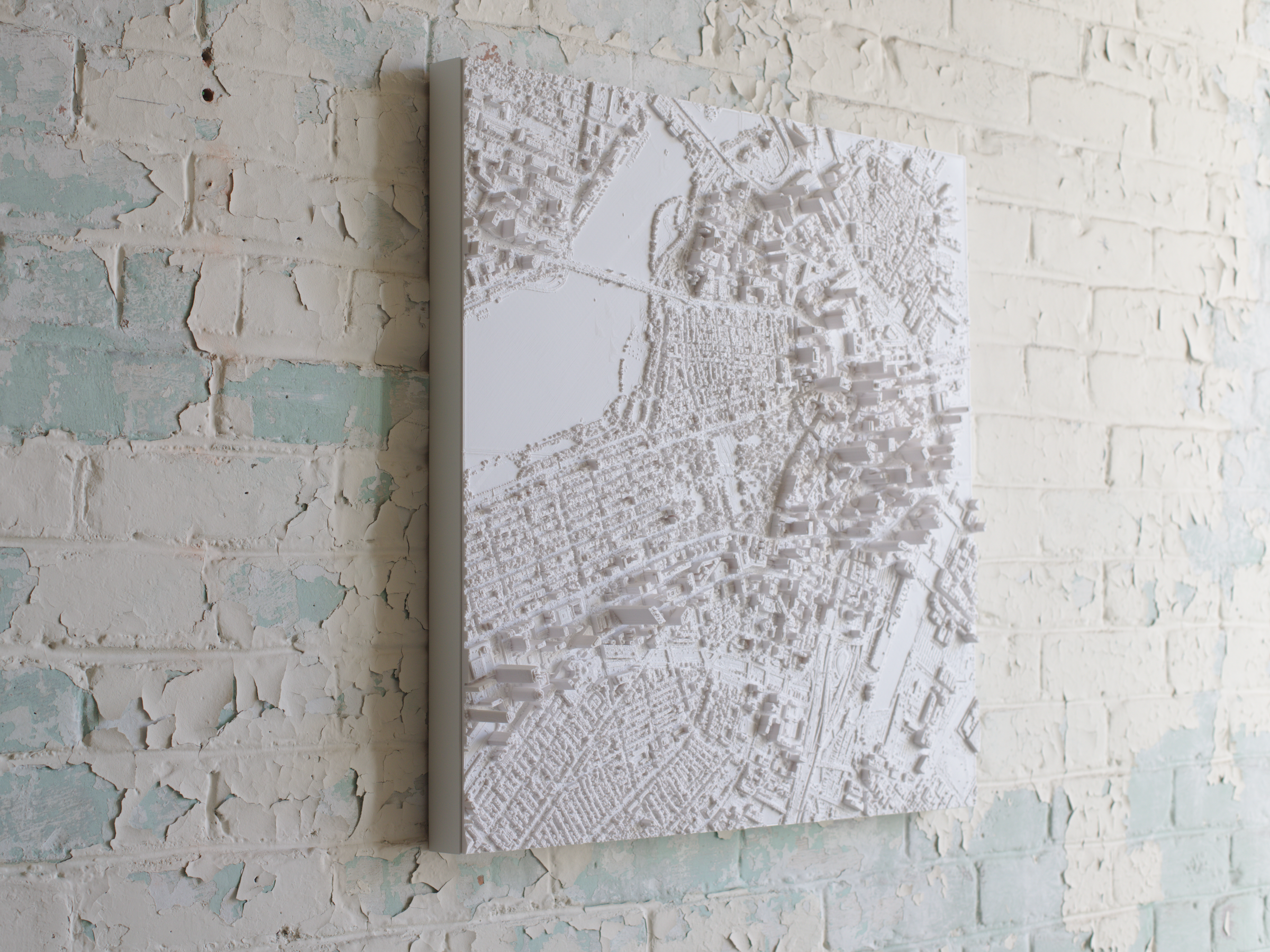
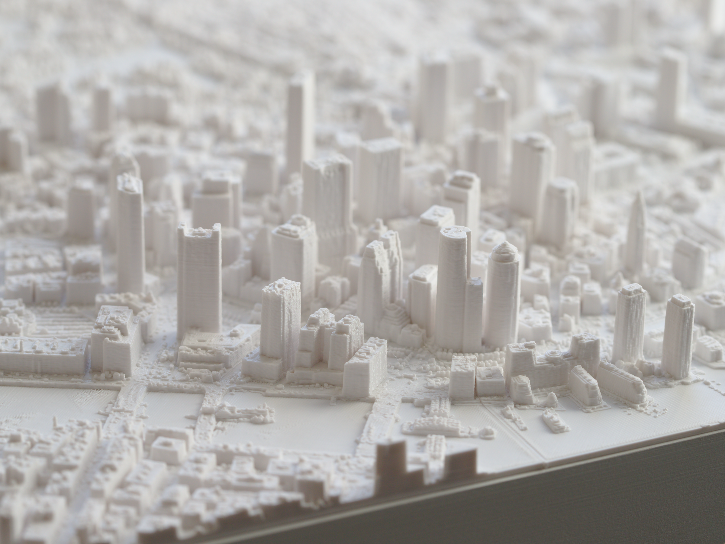
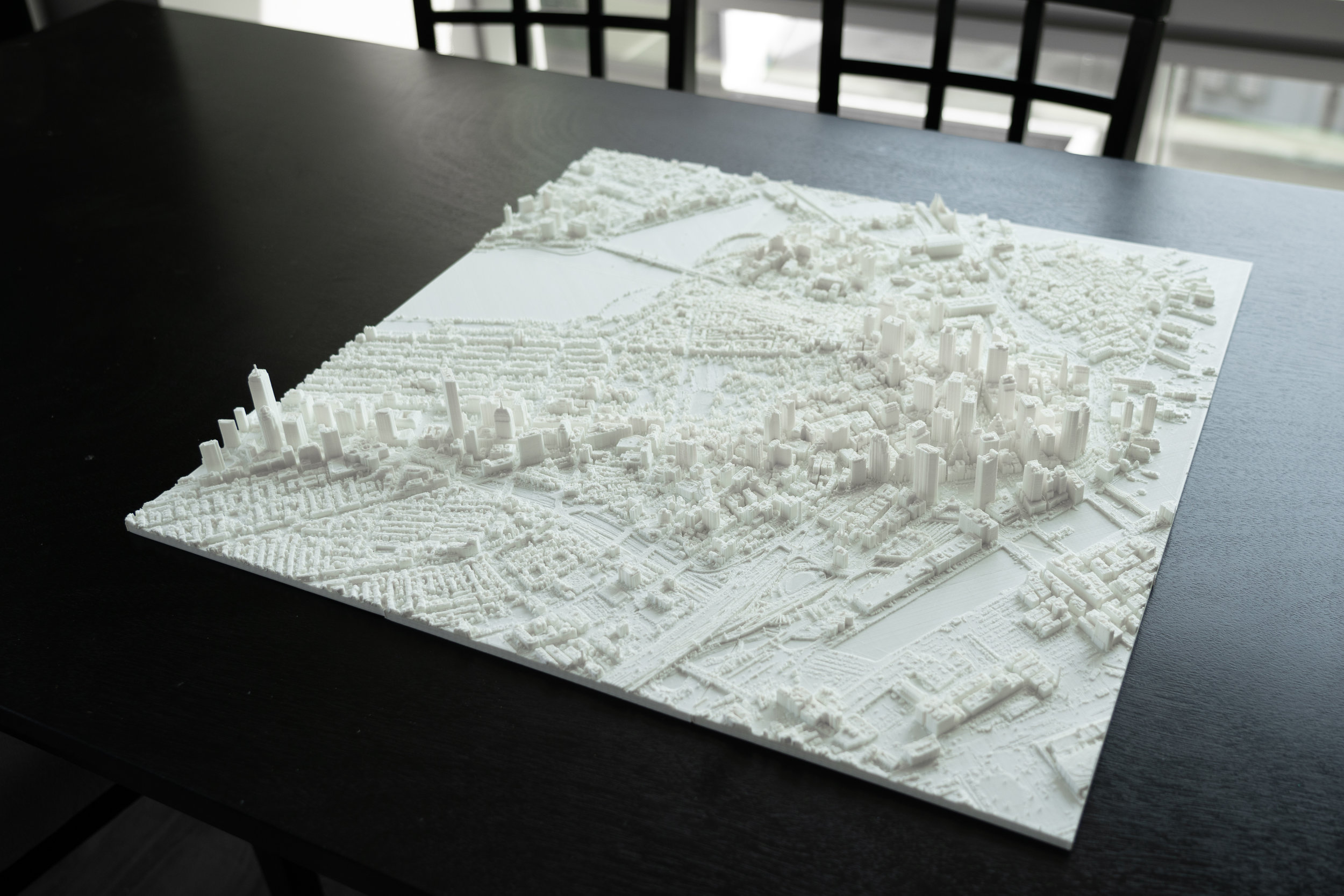
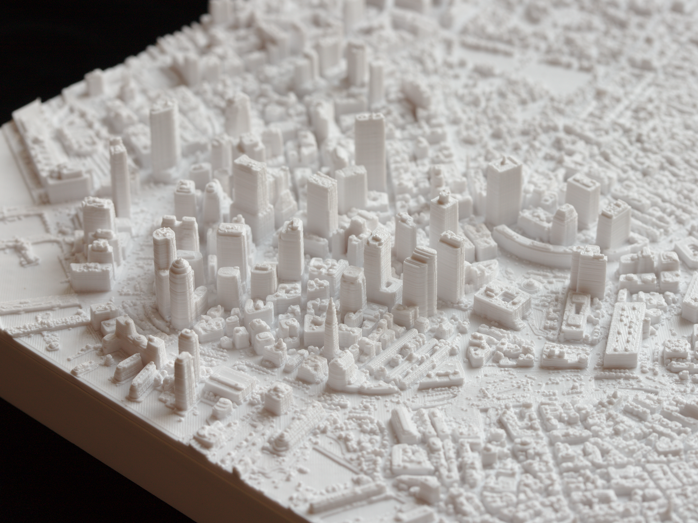
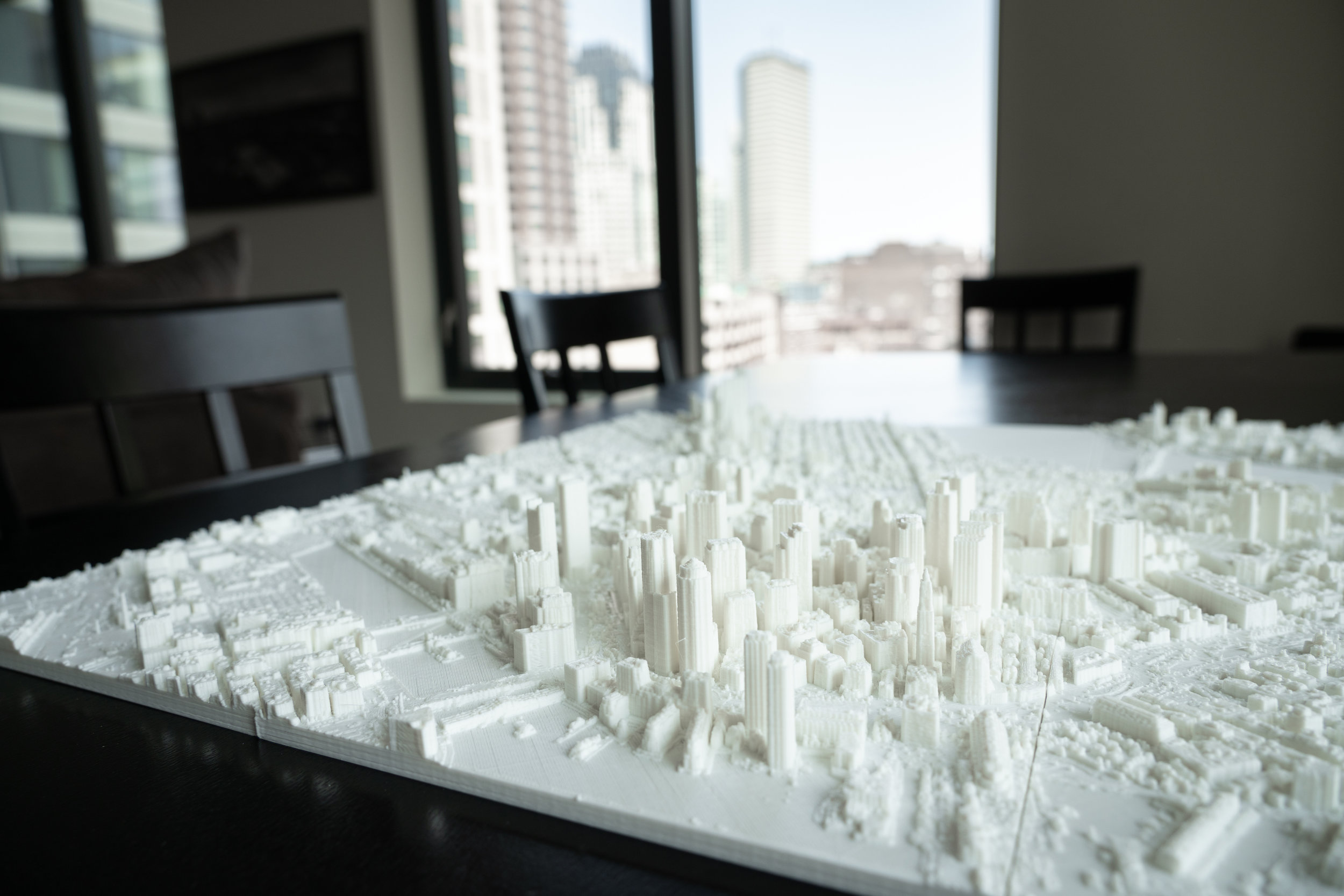
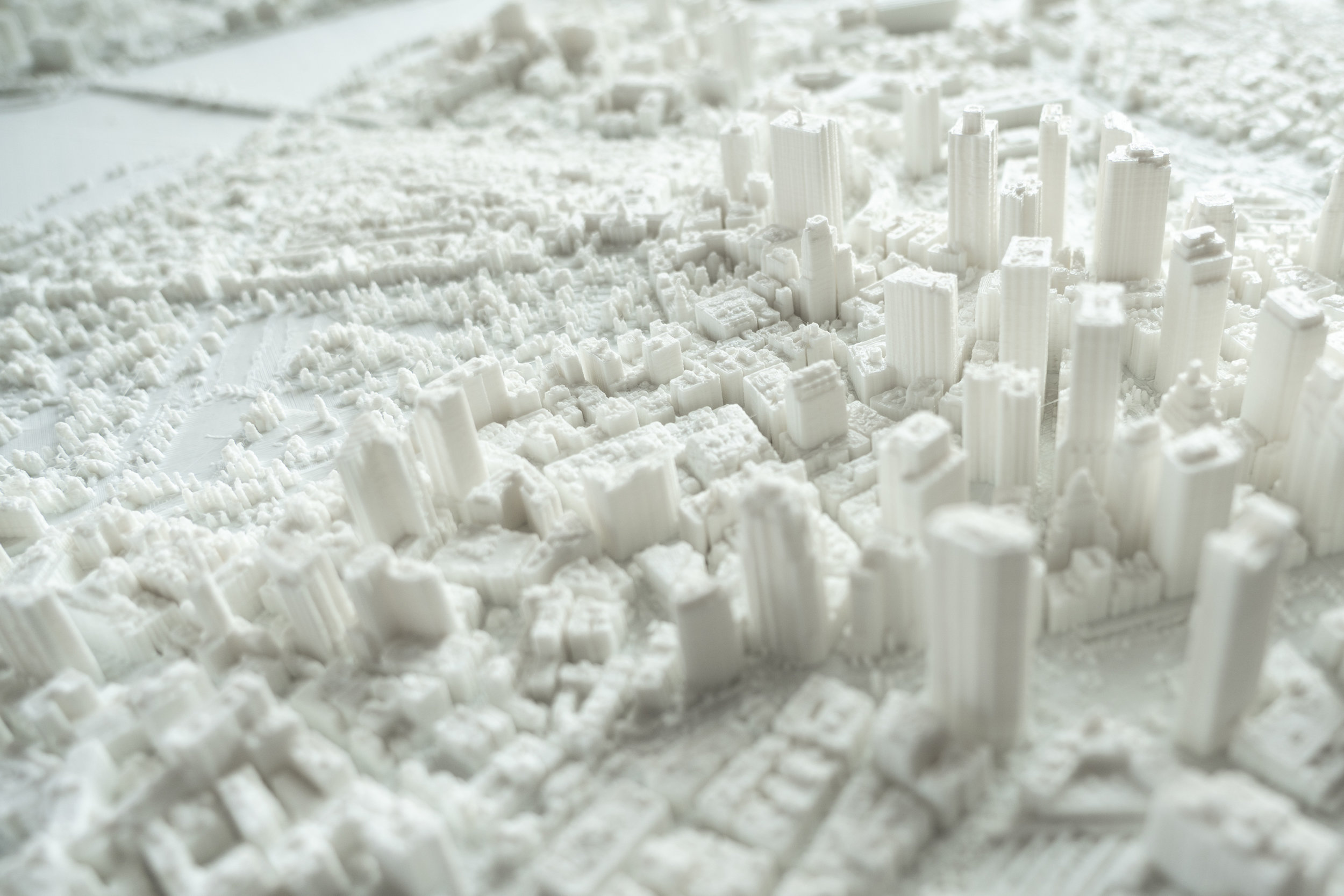
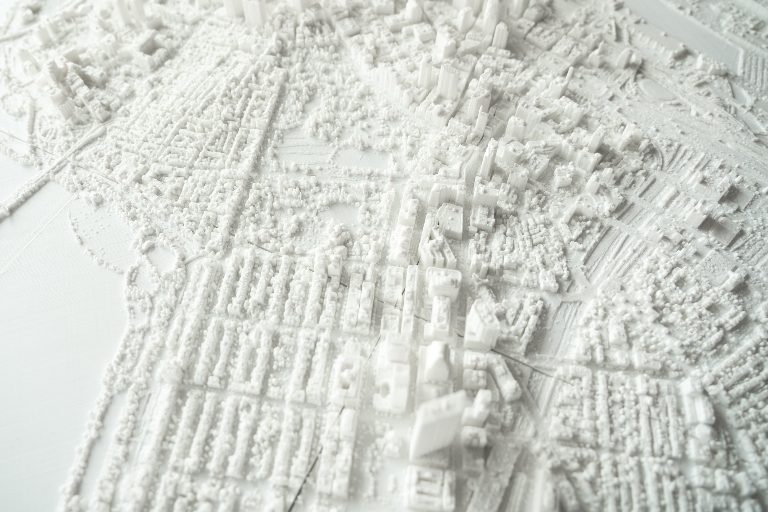

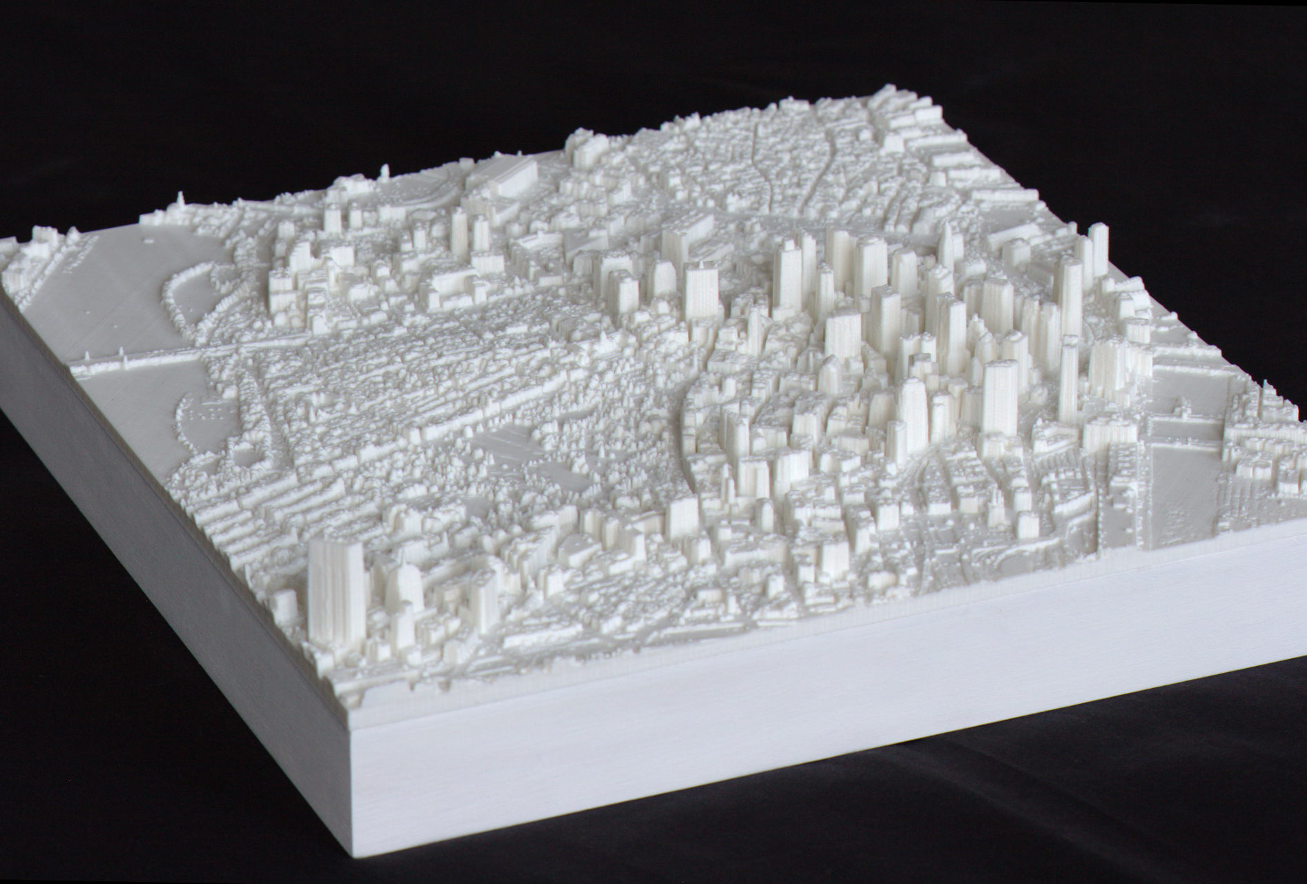
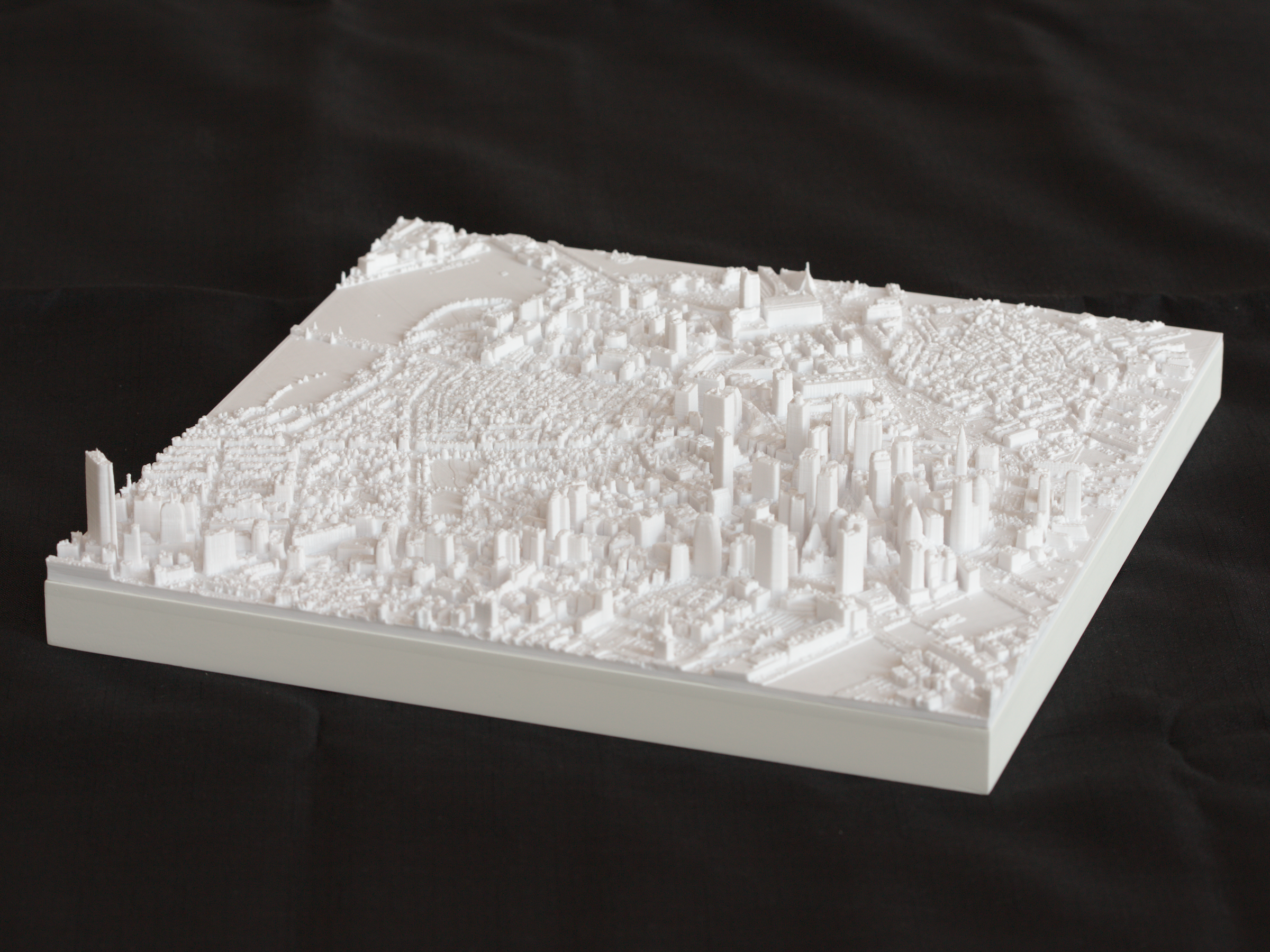
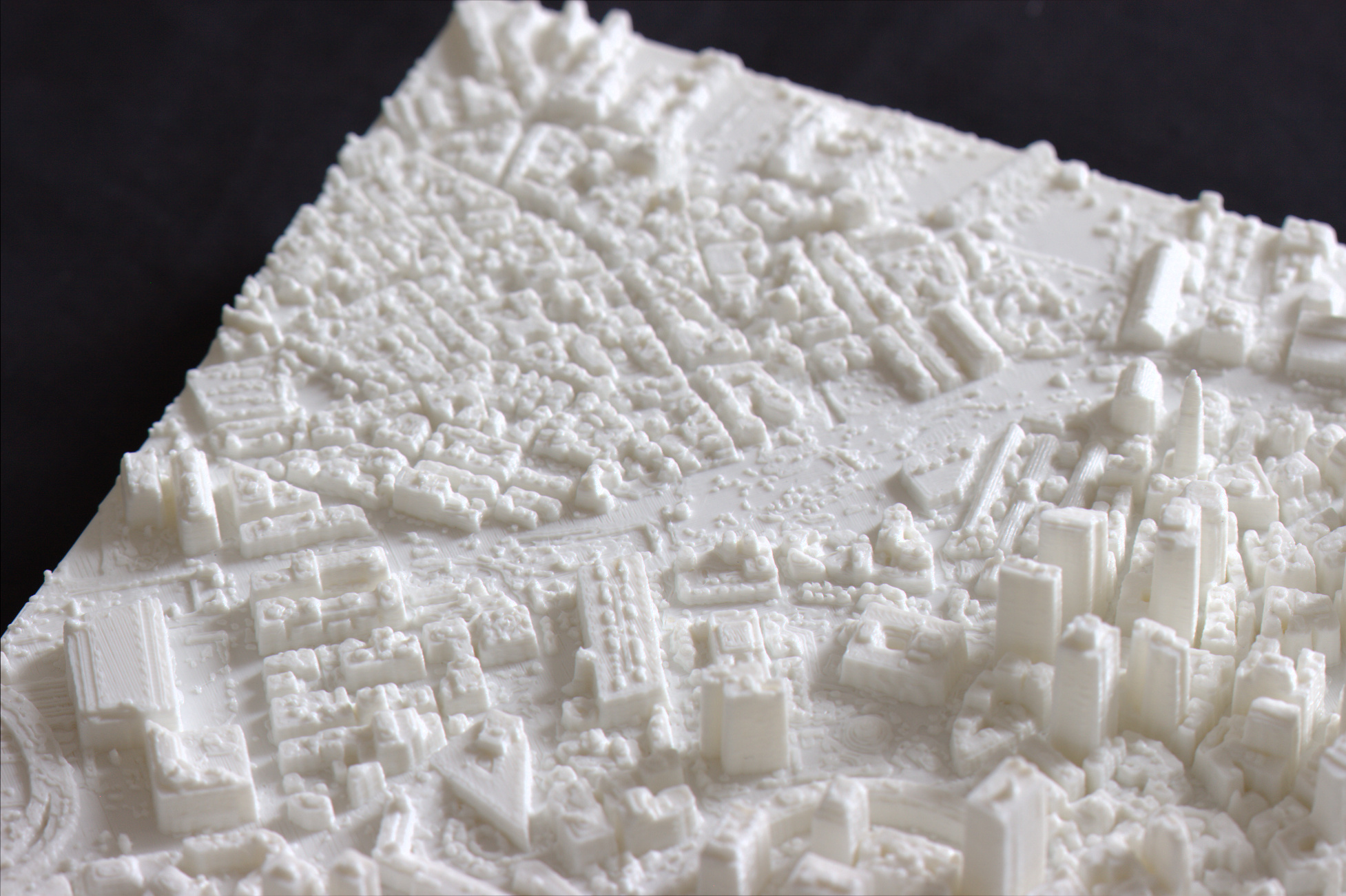
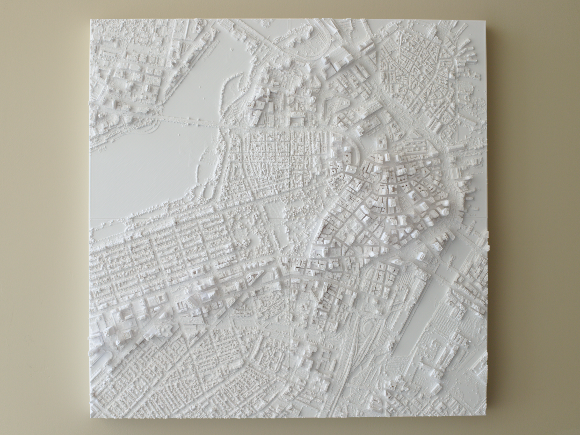
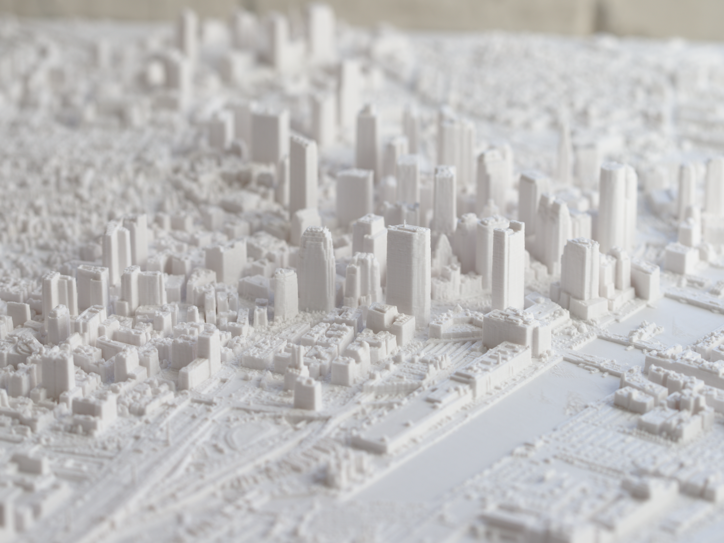
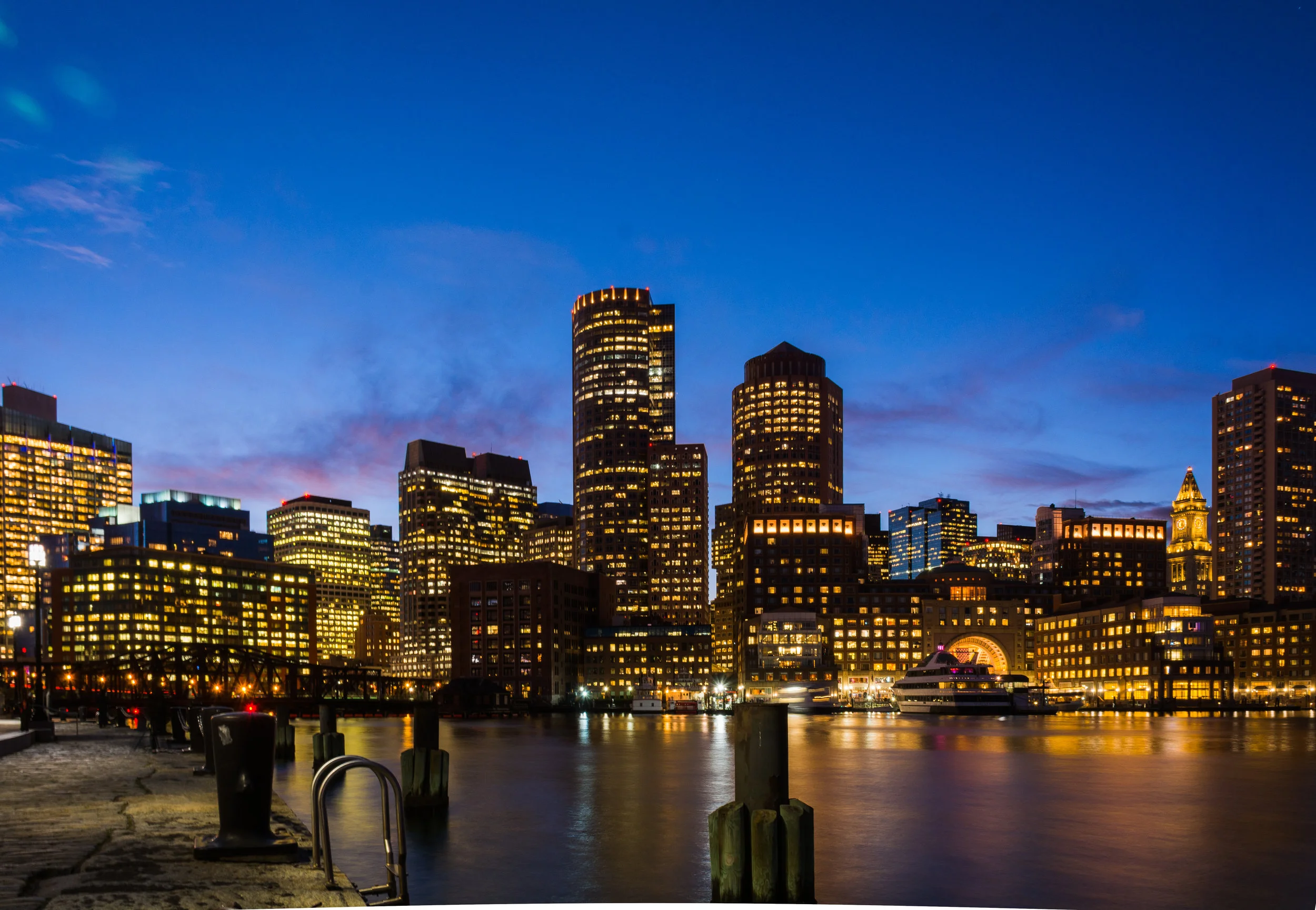
We've even made a large 24"x24" model of the city which includes everything from the new Zakim bridge to the John Hancock Tower. Plus you get a lot more than buildings from MiniCty - you get every tree, bus, hill, park, and detail, you can even see the duck boats on the Charles! Missing is some of the most recent construction, including the Four Seasons, Millennium Tower, and Avalon North Station. Nevertheless, here at MiniCty we keep an eye on the data and we will update as soon as we can.