Vancouver | 3D Cities


Dynamic and international city
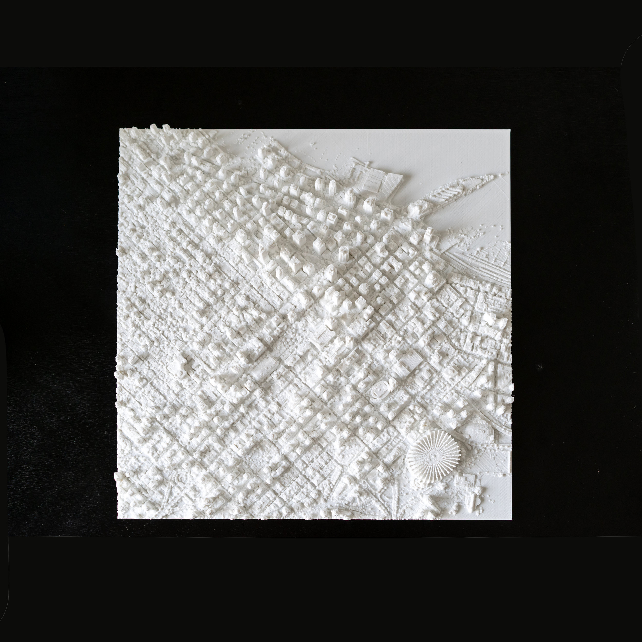
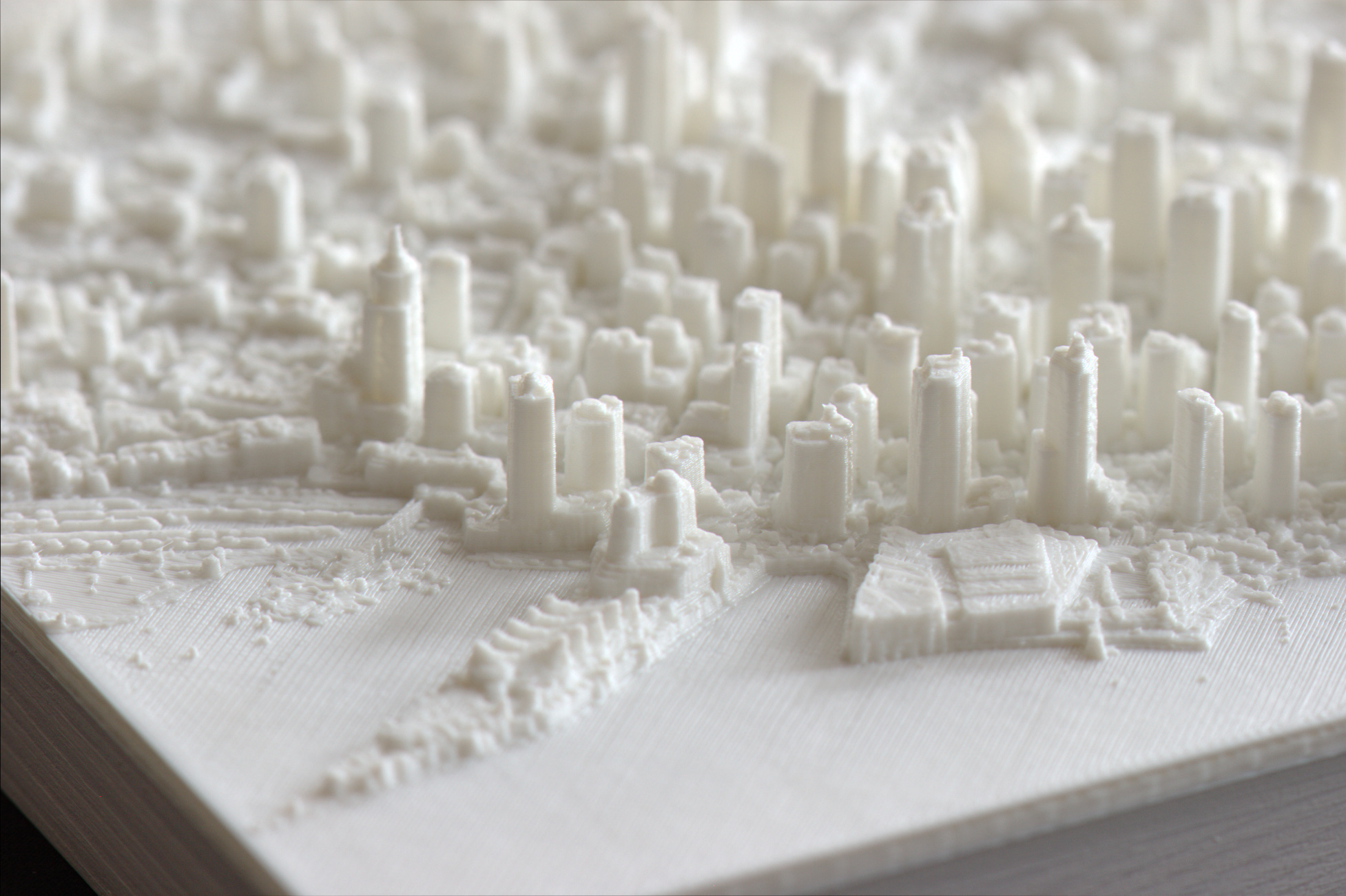
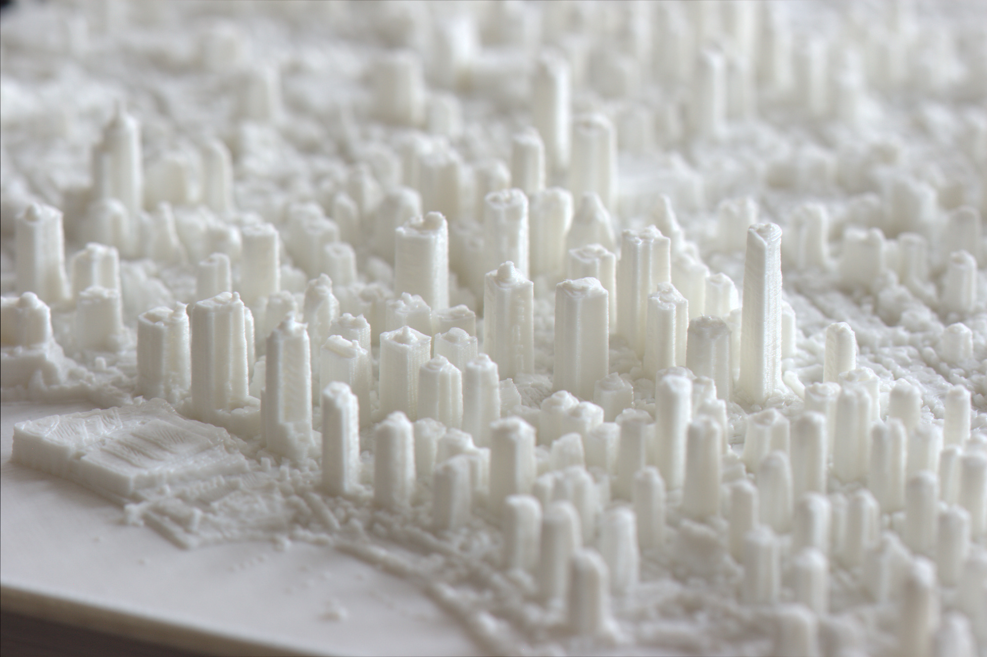
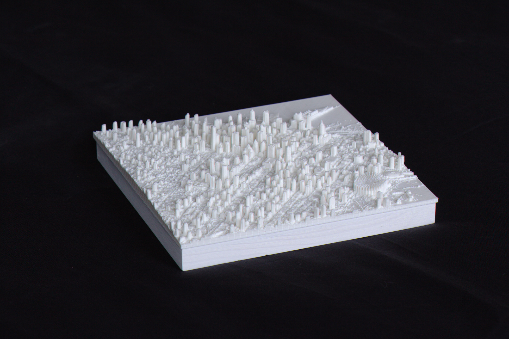
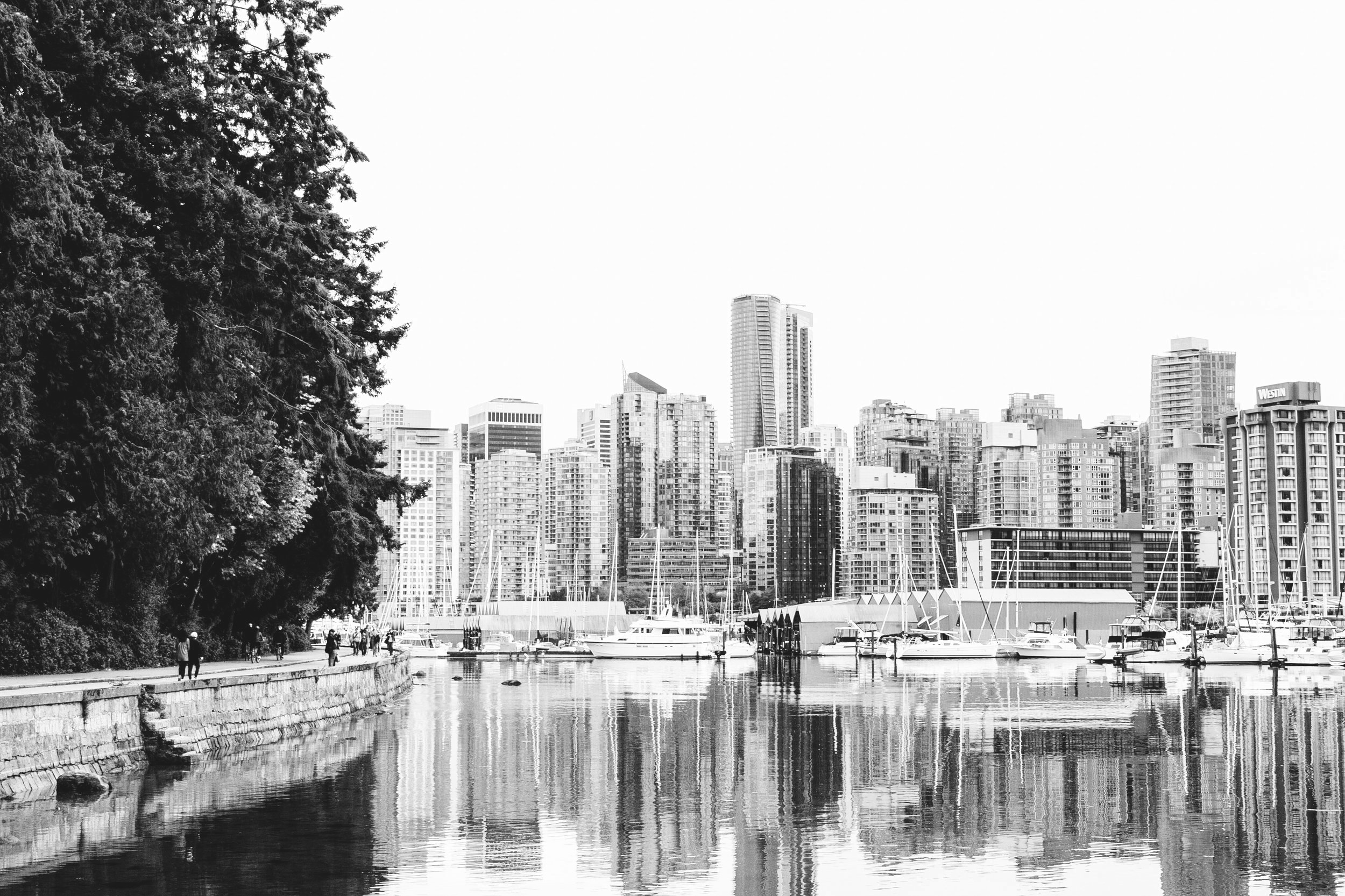
It is hard to keep up with Vancouver. A building boom in the 2000s and rapid population growth for decades have made it a dynamic and international city. Our 3D map includes much of Downtown West, Coal Harbour, and Yaletown, and parts of West End and Gastown. Built from laser-scan data from 2013, you'll be able to identify much of the current downtown, including Living Shangri-La, the tallest building in Vancouver at 201m; though we are missing the Trump Tower, MNP Tower, and a handful of other skyscrapers.
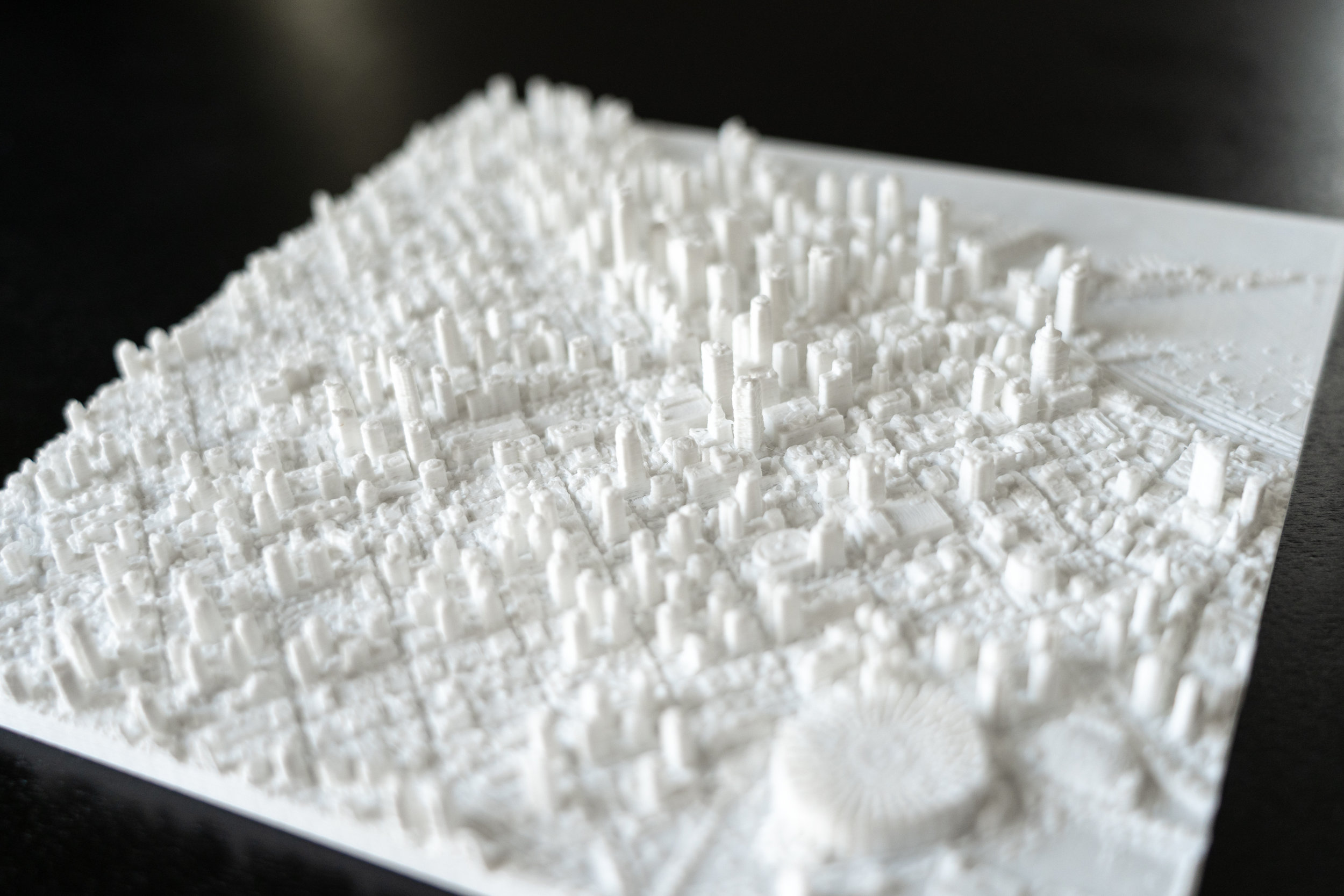
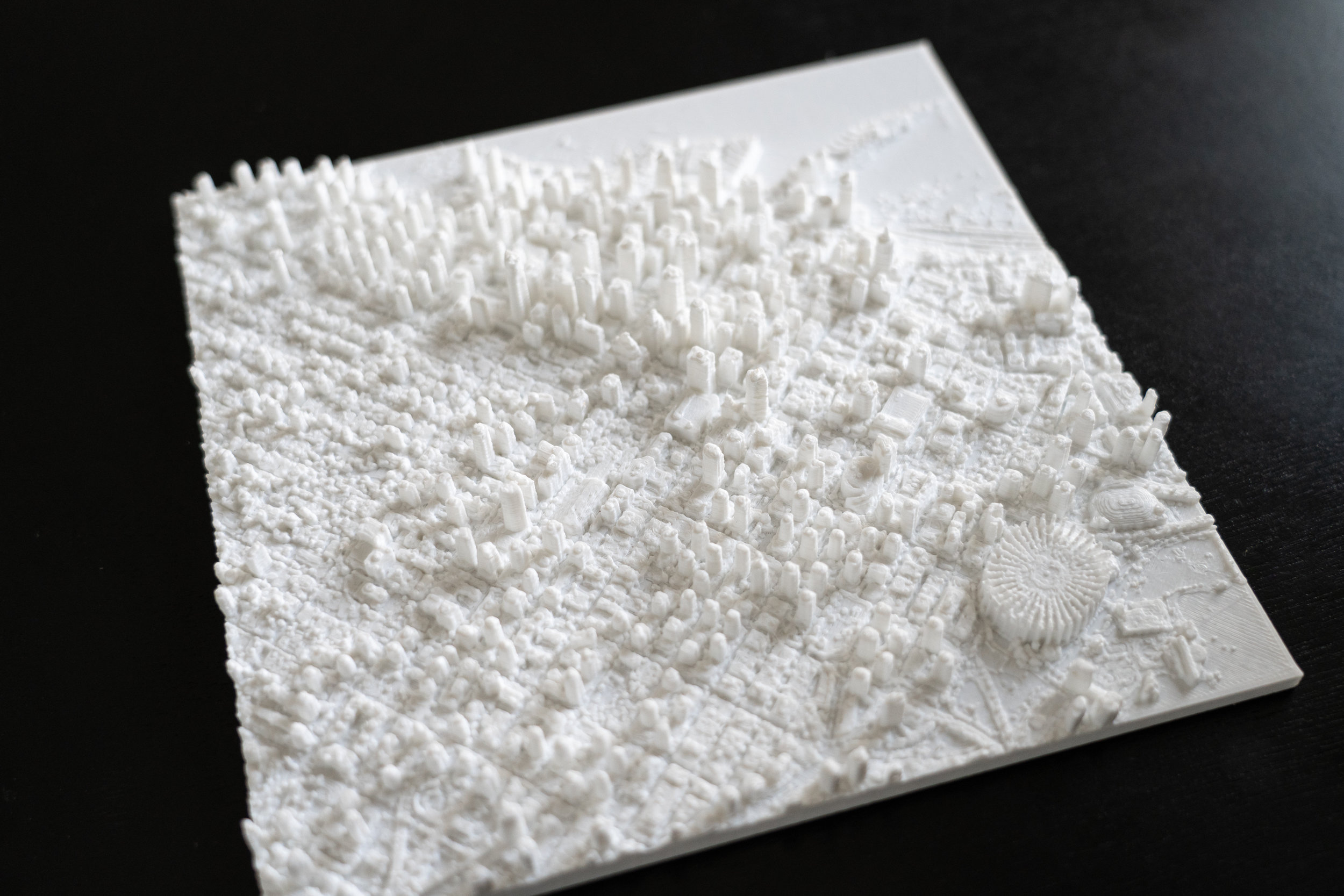
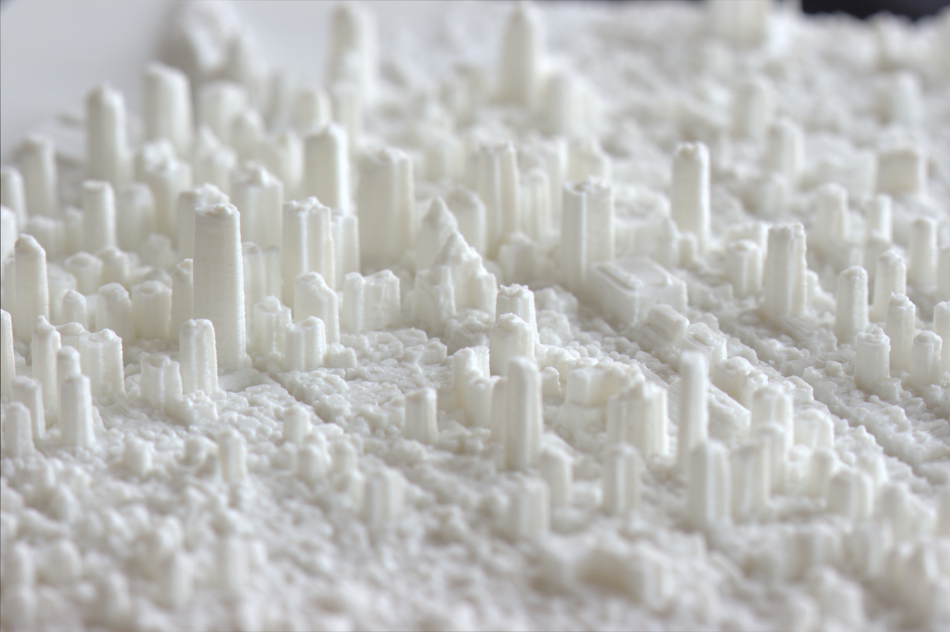
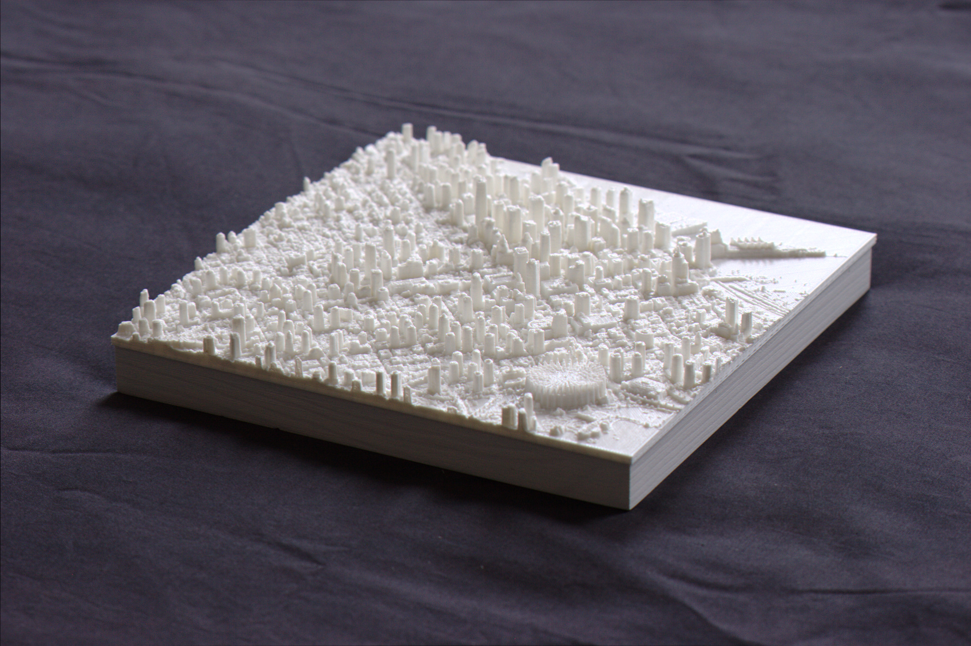
But a MiniCty model is not just about the tall buildings! When you hold one in your hands, you get everything else that makes a city unique: the street layout, architectural qualities of the stadiums and convention centers, trees in the parks, mechanical rooms on the building rooftops, boats in the marinas, even buses and cars in the streets.


You deserve this
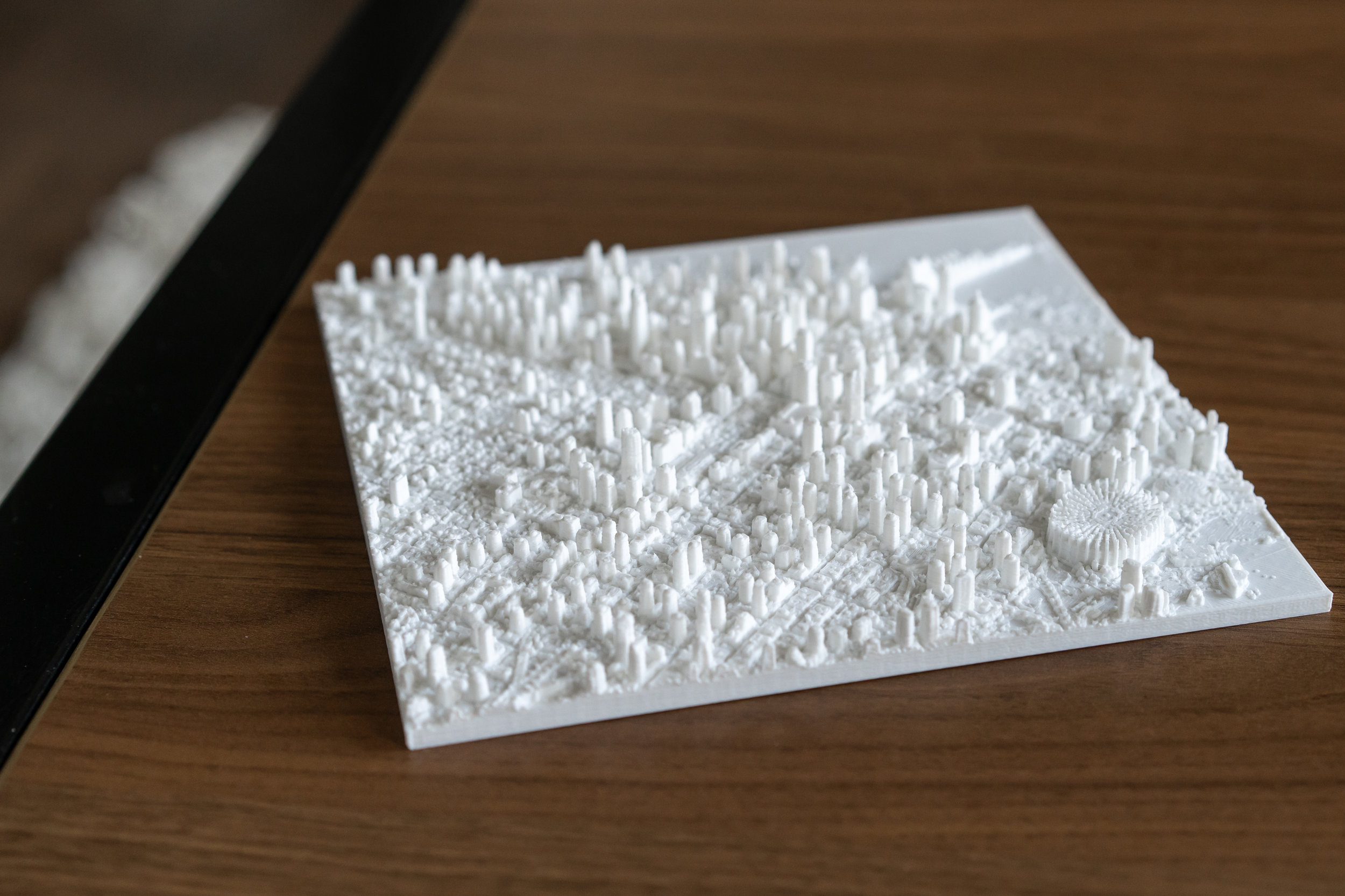
It's all in 3D for you to see and feel, and it's durable and easy to clean, too. If Vancouver is your home, or home away from home, you owe it to yourself to have this on your wall as a daily reminder of your city's character and complexity.