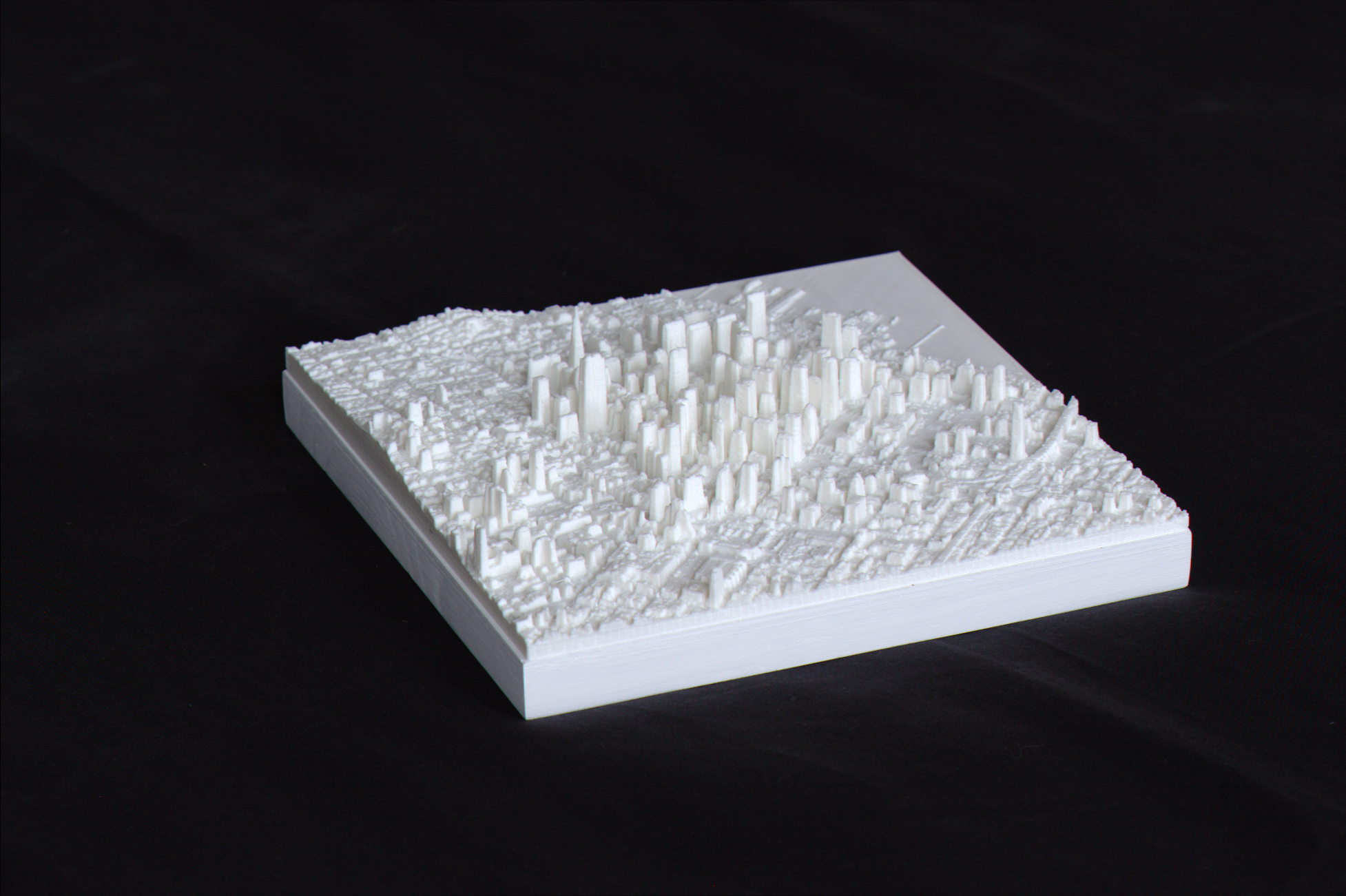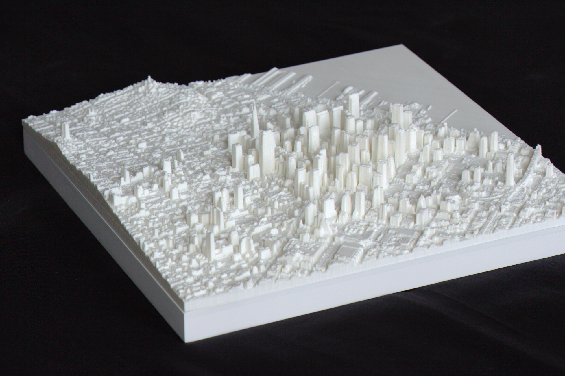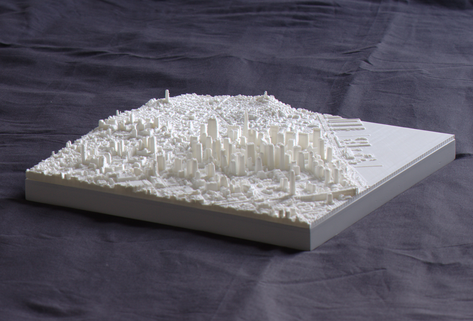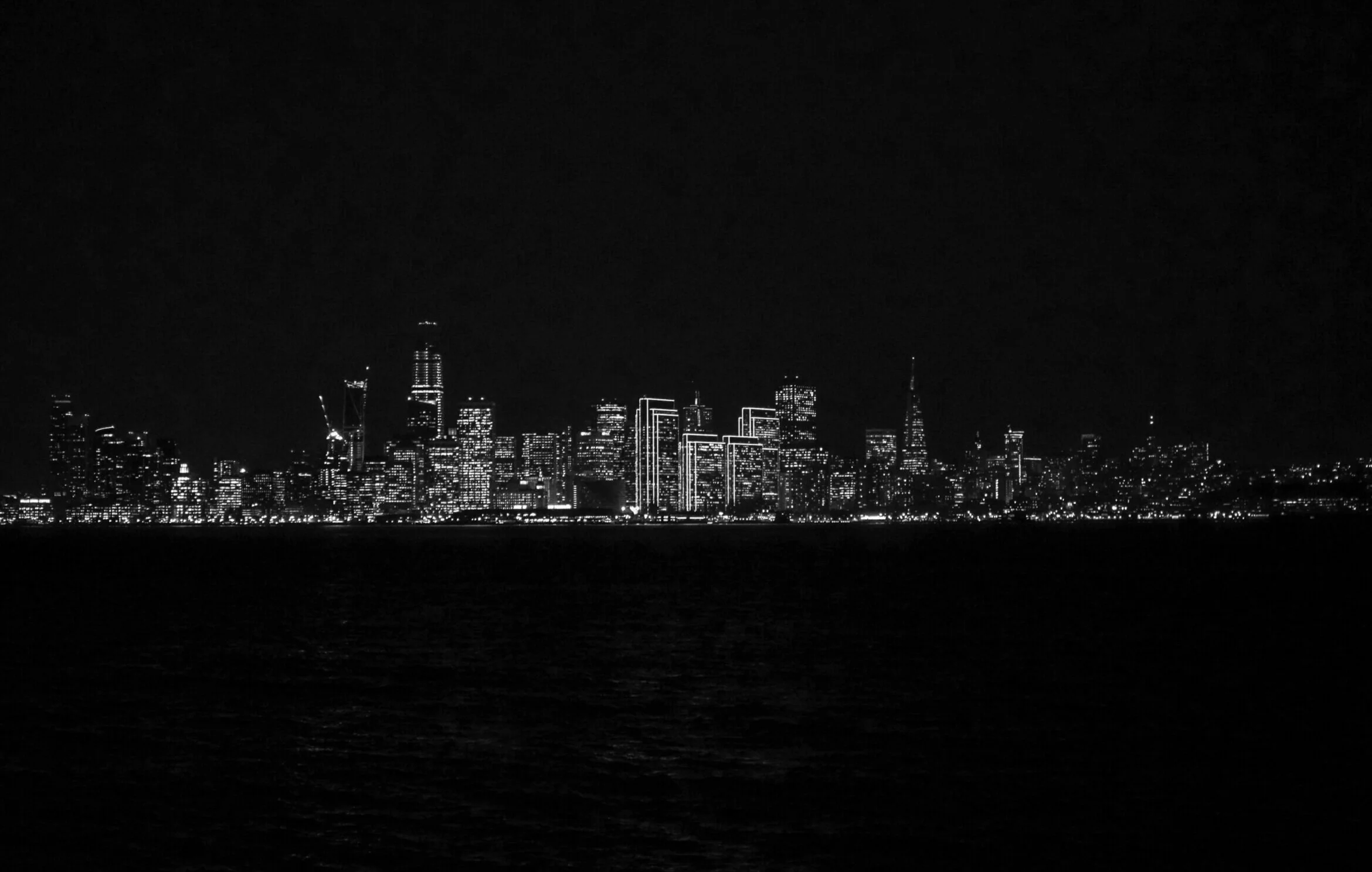
San Francisco | 3D Cities

It’s in the details
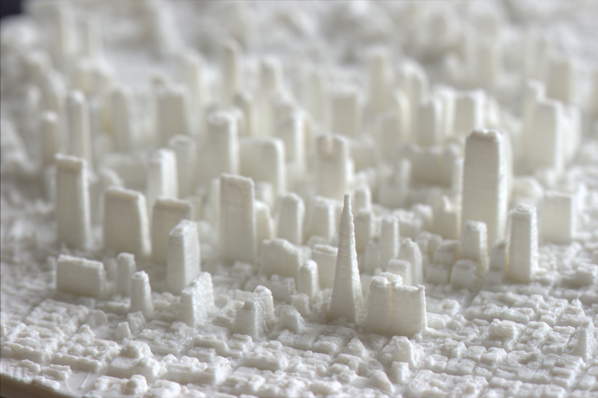
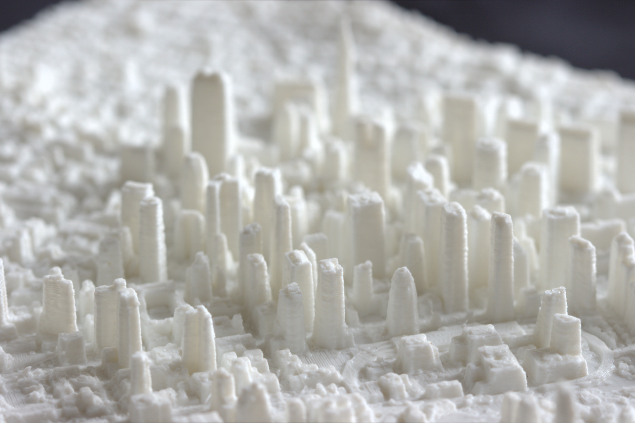
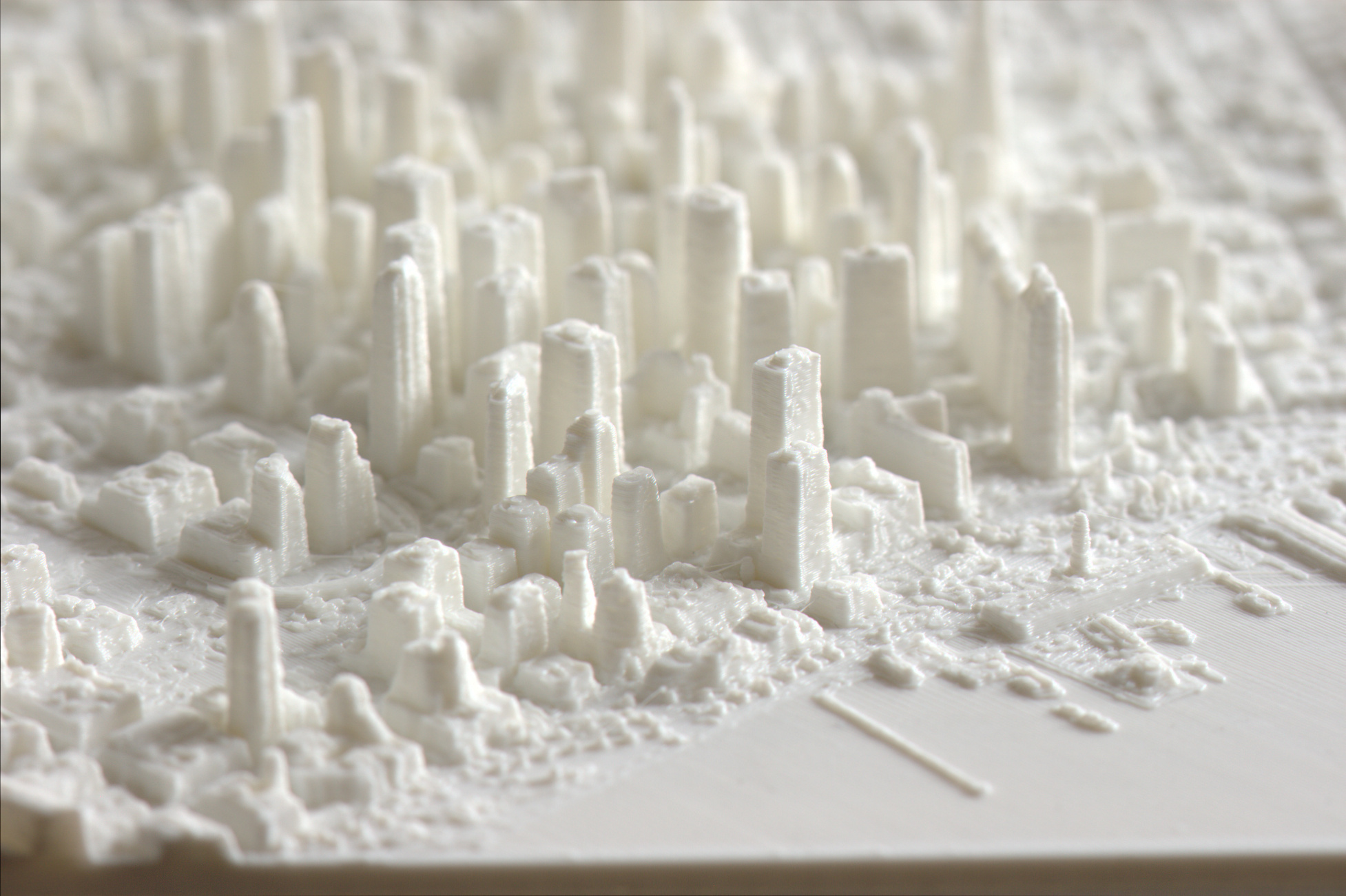
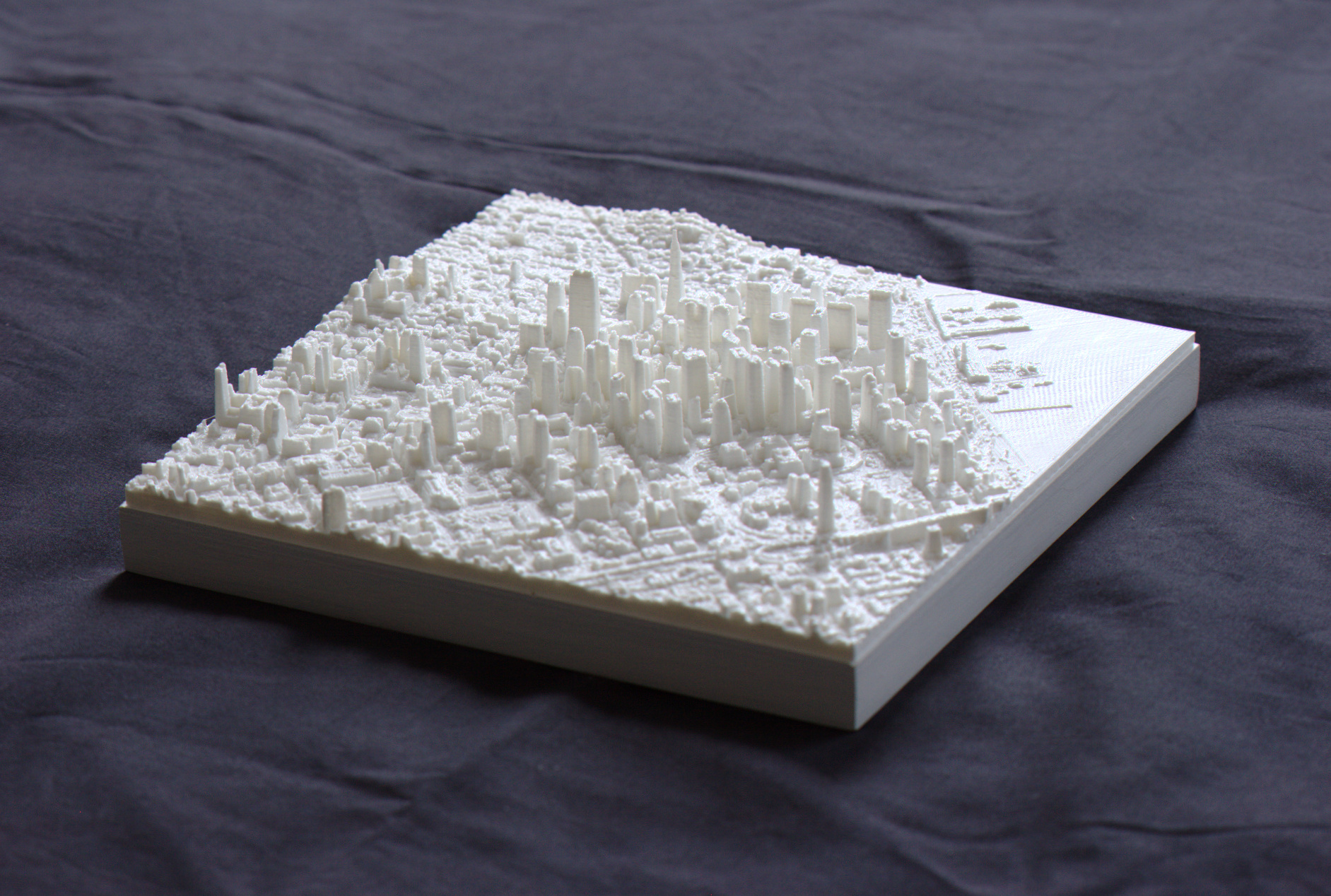
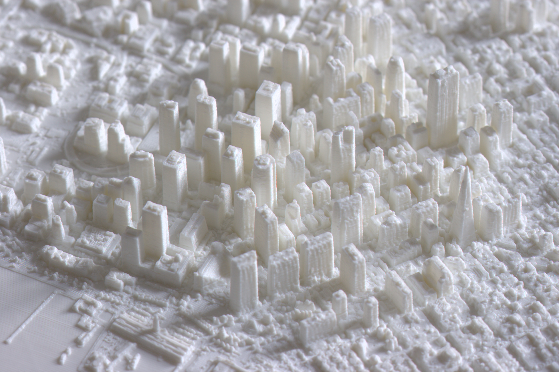
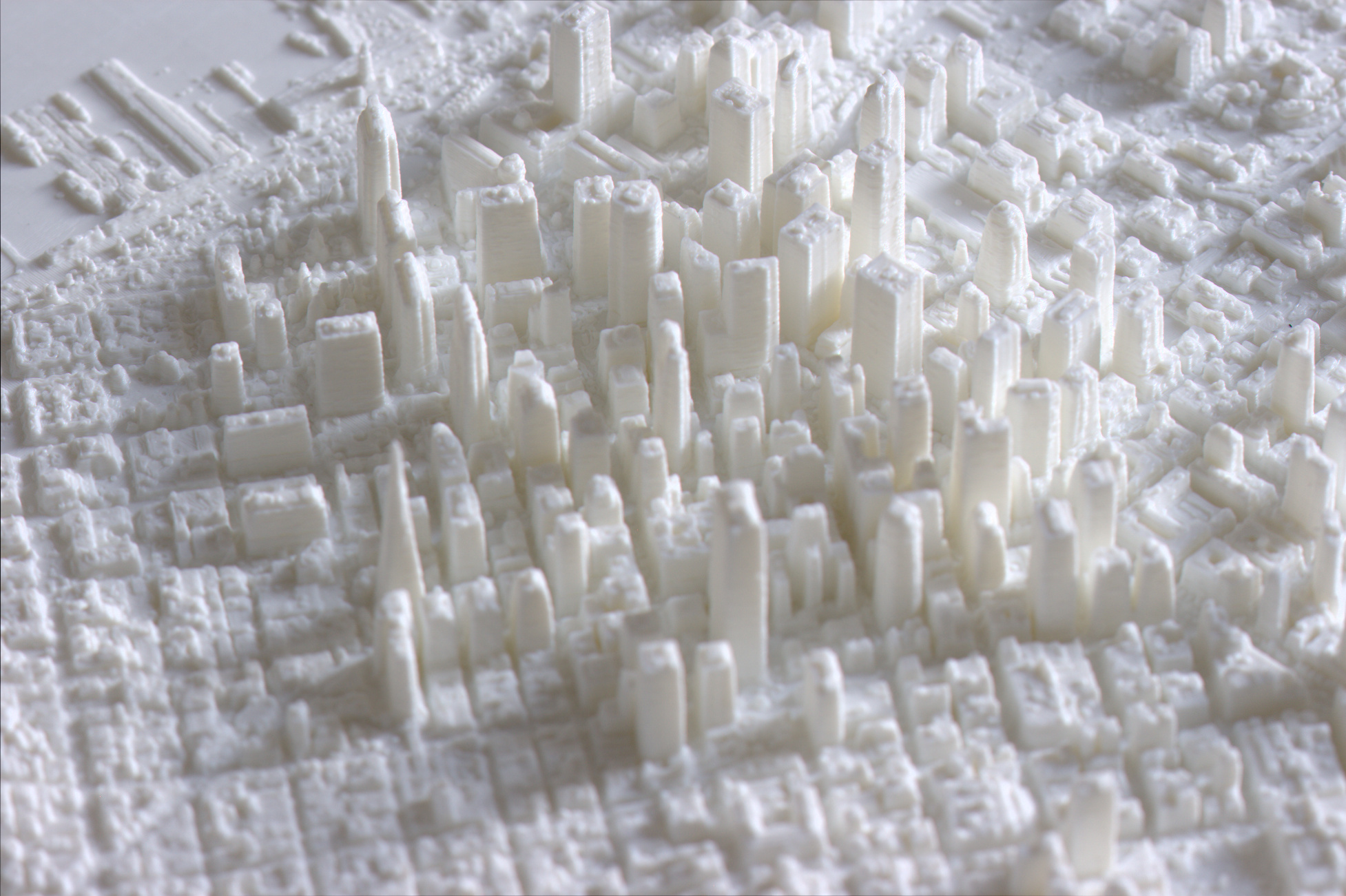
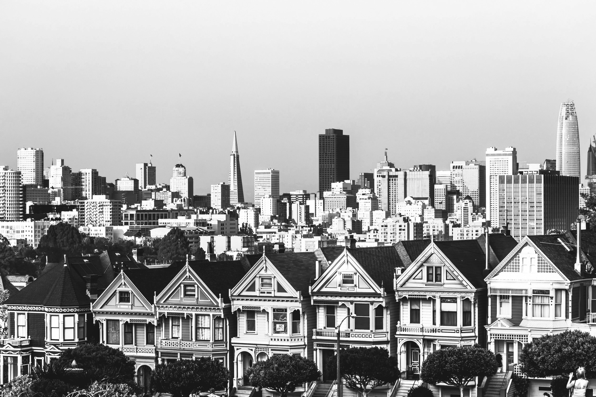
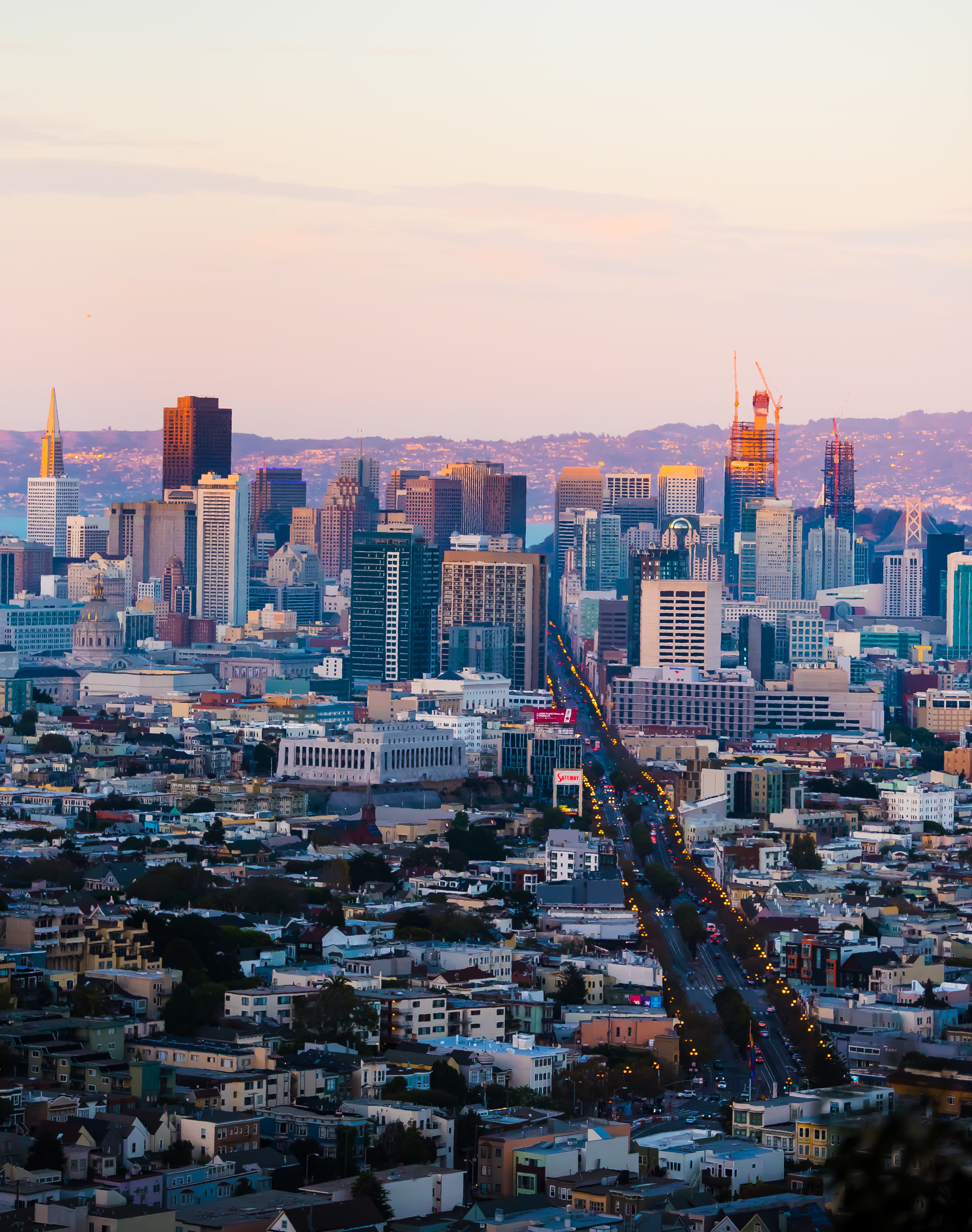
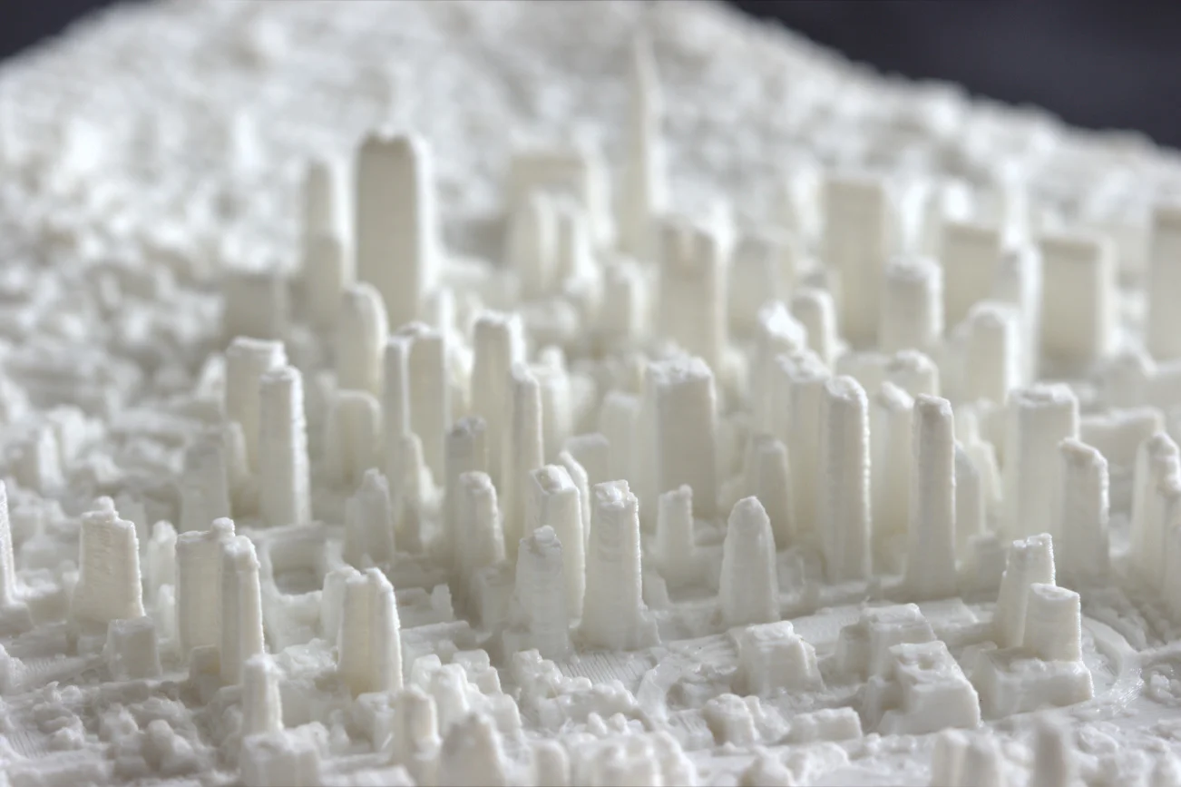
With its hills and history, San Francisco has earned a place among the most popular cities in the United States. We've brought the character of the city alive with our detailed 3D prints of the downtown area. Our maps include Mission Bay, SoMa, Financial, Tenderloin, and parts of Nob and Telegraph Hills. Our larger maps include Coit Tower and more of Nob Hill.


Let’s get technical
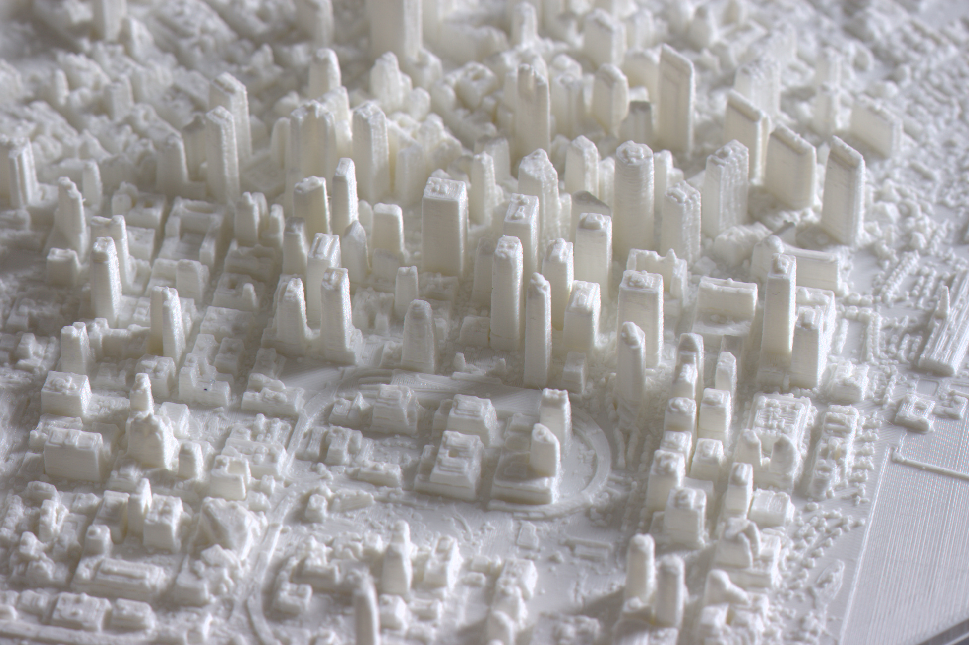
Since this 3D map is digitally built from laser-scan data from 2010, it includes icons such as the Transamerica Pyramid, 555 California St, 345 California Center, One Rincon Hill, and all of the development from the 1960s to 1980s boom. Plus, you'll see everything you expect from MiniCty maps: spires and towers, ships, highways, bridges, piers, parks, trees, buses, cars, and other details. However, the data didn't allow for the inclusion of newer buildings, such as the Salesforce Tower, 181 Fremont, and other new development in the Transbay area. Notably, the Millennium Tower had not been topped out when the city was scanned. As with all MiniCty models, we will update each as soon as accurate data becomes available.